Koungou night lights from space
Night Light of Koungou from space (Mayotte) Src. Average luminocity for 10x10km area is 21.4004% and for 50x50km: 4.093%.
Analysis of Koungou night lights 2016
Square area 10x10 km:
100  2.6%
2.6%
90-99 3.03%
80-89 3.03%
70-79 3.25%
60-69 1.52%
50-59 3.68%
40-49 2.81%
30-39 1.08%
20-29 0.65%
10-19 30.74%
0-9 47.62%
2.6%90-99
3.03%80-89
3.03%70-79
3.25%60-69
1.52%50-59
3.68%40-49
2.81%30-39
1.08%20-29
0.65%10-19
30.74%0-9
47.62%Square area 50x50 km:
100 0.43%
90-99 0.54%
80-89 0.32%
70-79 0.37%
60-69 0.53%
50-59 0.87%
40-49 0.34%
30-39 0.65%
20-29 0.56%
10-19 3.37%
0-9 92.01%
0.43%90-99
0.54%80-89
0.32%70-79
0.37%60-69
0.53%50-59
0.87%40-49
0.34%30-39
0.65%20-29
0.56%10-19
3.37%0-9
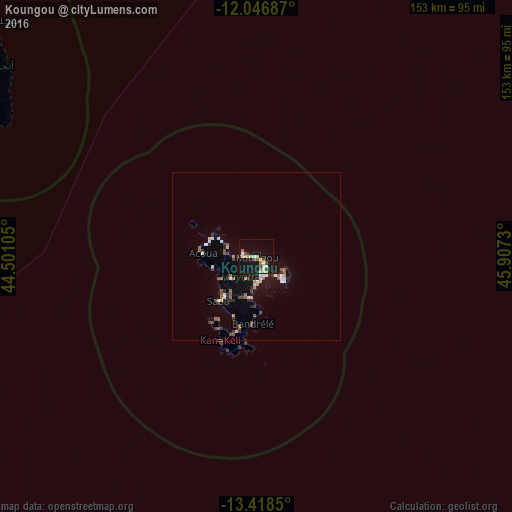
92.01%Clear (daylight) street map image can be seen on geolist.org.
Map coordinates:
12° 2' 48.7" South, 44° 30' 3.8" East
12° 44' 1" South, 45° 12' 15" East
13° 25' 6.6" South, 45° 54' 26.3" East
Some cities around Koungou sort by population:
• Mamoudzou
6 km =3.7 mi,  153°
153°
• Dzaoudzi
8 km =5 mi,  134°
134°
• Dembeni
12.4 km =7.7 mi,  189°
189°
• Pamandzi
10.8 km =6.7 mi, 130°
• Bandraboua
9.5 km =5.9 mi,  290°
290°
• Tsingoni
12.5 km =7.8 mi,  241°
241°
• Ouangani
14.6 km =9.1 mi,  210°
210°
• M'Tsangamouji
13.4 km =8.3 mi,  257°
257°
1090225 (p: 18,118)
Sources (retrieved 2019-11-25):
» Earth at Night: Flat Maps 2012, 2016