Dzaoudzi night lights from space
Night Light of Dzaoudzi from space (Mayotte) Src. Average luminocity for 10x10km area is 28.5628% and for 50x50km: 4.2%.
Analysis of Dzaoudzi night lights 2016
Square area 10x10 km:
100  5.84%
5.84%
90-99 5.41%
80-89 2.81%
70-79 4.11%
60-69 1.73%
50-59 5.19%
40-49 1.73%
30-39 1.73%
20-29 1.52%
10-19 33.33%
0-9 36.58%
5.84%90-99
5.41%80-89
2.81%70-79
4.11%60-69
1.73%50-59
5.19%40-49
1.73%30-39
1.73%20-29
1.52%10-19
33.33%0-9
36.58%Square area 50x50 km:
100 0.43%
90-99 0.54%
80-89 0.32%
70-79 0.37%
60-69 0.53%
50-59 0.9%
40-49 0.4%
30-39 0.76%
20-29 0.59%
10-19 3.41%
0-9 91.74%
0.43%90-99
0.54%80-89
0.32%70-79
0.37%60-69
0.53%50-59
0.9%40-49
0.4%30-39
0.76%20-29
0.59%10-19
3.41%0-9
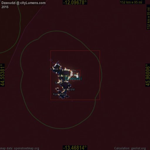
91.74%Clear (daylight) street map image can be seen on geolist.org.
Map coordinates:
12° 5' 48.4" South, 44° 33' 13.7" East
12° 47' 0.2" South, 45° 15' 24.9" East
13° 28' 5.3" South, 45° 57' 36.2" East
Some cities around Dzaoudzi sort by population:
• Mamoudzou
3.1 km =1.9 mi,  272°
272°
• Koungou
8 km =5 mi,  314°
314°
• Dembeni
10.3 km =6.4 mi,  229°
229°
• Pamandzi
2.9 km =1.8 mi,  121°
121°
• Tsingoni
16.7 km =10.4 mi, 268°
• Ouangani
14.9 km =9.3 mi,  241°
241°
• Chiconi
16.8 km =10.4 mi,  250°
250°
• Bandrélé
16 km =9.9 mi,  205°
205°
921900 (p: 15,339)
Sources (retrieved 2019-11-25):
» Earth at Night: Flat Maps 2012, 2016