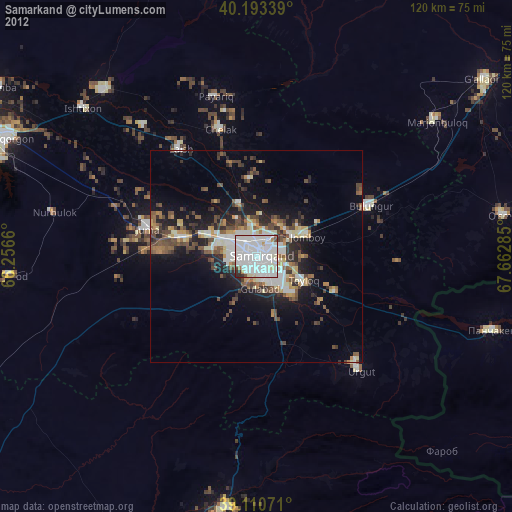
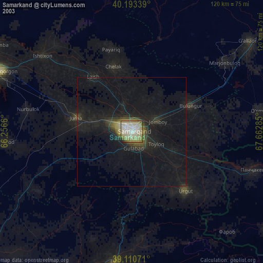
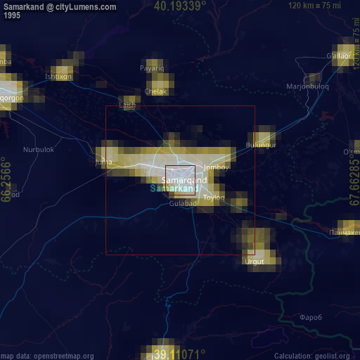
Samarkand night lights from space
Night Light of Samarkand (Samarqand) from space (Uzbekistan) Src. Average luminocity for 10x10km area is 89.8198% and for 50x50km: 12.0881%.
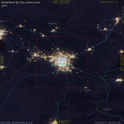
Analysis of Samarkand night lights 2016
Square area 10x10 km:
 28.73%
90-99
40.58%80-89
14.29%70-79
6.33%60-69
0.97%50-59
4.87%40-49
2.27%30-39
1.14%20-29
0.81%10-19
0%0-9
0%Square area 50x50 km:
1.42%90-99
2.41%80-89
1.61%70-79
1.61%60-69
1.3%50-59
1.39%40-49
2.39%30-39
2.53%20-29
3.06%10-19
6.47%0-9
75.8%Clear (daylight) street map image can be seen on geolist.org.
Map coordinates:
40° 11' 36.2" North, 66° 15' 23.8" East
39° 39' 15" North, 66° 57' 35" East
39° 6' 38.6" North, 67° 39' 46.3" East
Some cities around Samarkand sort by population:
• Urgut
37.1 km =23.1 mi,  139°
139°
• Bulung’ur
29.4 km =18.3 mi,  65°
65°
• Juma
26.2 km =16.3 mi,  285°
285°
• Chelak
30.8 km =19.1 mi,  344°
344°
• Jomboy
12.5 km =7.8 mi, 66°
• Charxin
17 km =10.6 mi, 286°
• Ishtixon
53.3 km =33.1 mi,  310°
310°
• Daxbet
12.9 km =8 mi, 341°
1216265 (p: 319,366)
Sources (retrieved 2019-11-25):
» NASA, Earths city lights 1995
» NASA city lights 2003
» Earth at Night: Flat Maps 2012, 2016