Mŭynoq night lights from space
Night Light of Mŭynoq (Karakalpakstan) from space (Uzbekistan) Src. Average luminocity for 10x10km area is 0% and for 50x50km: 0.012%.
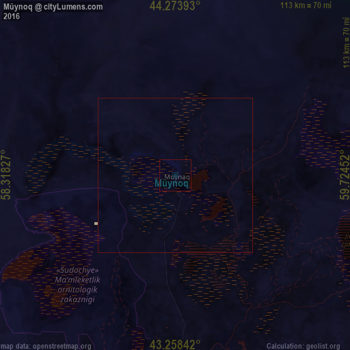
Analysis of Mŭynoq night lights 2016
Square area 10x10 km:
 0%
0%90-99
0%80-89
0%70-79
0%60-69
0%50-59
0%40-49
0%30-39
0%20-29
0%10-19
0%0-9
100%Square area 50x50 km:
0%90-99
0%80-89
0.01%70-79
0%60-69
0%50-59
0%40-49
0%30-39
0%20-29
0%10-19
0%0-9
99.99%Clear (daylight) street map image can be seen on geolist.org.
Map coordinates:
44° 16' 26.1" North, 58° 19' 5.8" East
43° 46' 6" North, 59° 1' 17" East
43° 15' 30.3" North, 59° 43' 28.3" East
Some cities around Mŭynoq sort by population:
• Nukus
153.9 km =95.6 mi,  161°
161°
• Oltinko‘l
78.4 km =48.7 mi,  186°
186°
• Xo‘jayli Shahri
155 km =96.3 mi,  167°
167°
• Manghit
202.3 km =125.7 mi, 155°
• Köneürgench, TM
160.5 km =99.7 mi,  176°
176°
• Boldumsaz, TM
189.9 km =118 mi, 163°
• Akdepe, TM
192.7 km =119.7 mi, 171°
• Kegeyli Shahar
120 km =74.6 mi, 156°
601299 (p: 13,000)
Sources (retrieved 2019-11-25):
» Earth at Night: Flat Maps 2012, 2016