Boldumsaz night lights from space
Night Light of Boldumsaz (Daşoguz) from space (Turkmenistan) Src. Average luminocity for 10x10km area is 17.2985% and for 50x50km: 5.7253%.
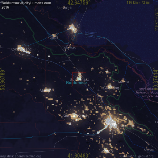
Analysis of Boldumsaz night lights 2016
Square area 10x10 km:
 0.45%
0.45%90-99
3.33%80-89
5.3%70-79
1.36%60-69
1.06%50-59
0.3%40-49
2.73%30-39
4.39%20-29
1.67%10-19
8.79%0-9
70.61%Square area 50x50 km:
0.23%90-99
0.43%80-89
0.74%70-79
0.55%60-69
0.42%50-59
0.8%40-49
1.05%30-39
2.05%20-29
1.78%10-19
4.46%0-9
87.49%Clear (daylight) street map image can be seen on geolist.org.
Map coordinates:
42° 38' 51.2" North, 58° 58' 4.4" East
42° 7' 41.7" North, 59° 40' 15.6" East
41° 36' 16.7" North, 60° 22' 26.9" East
Some cities around Boldumsaz sort by population:
• Nukus, UZ
36.5 km =22.7 mi,  352°
352°
• Daşoguz
40.6 km =25.2 mi,  143°
143°
• Xo‘jayli Shahri, UZ
36.3 km =22.6 mi,  329°
329°
• Manghit, UZ
32.1 km =19.9 mi,  92°
92°
• Köneürgench
48 km =29.8 mi,  297°
297°
• Yylanly
32.8 km =20.4 mi,  183°
183°
• Tagta
56.9 km =35.4 mi,  159°
159°
• Akdepe
25.4 km =15.8 mi,  251°
251°
601661 (p: 21,159)
Sources (retrieved 2019-11-25):
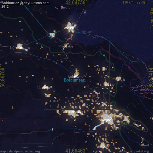
» Earth at Night: Flat Maps 2012, 2016