Manghit night lights from space
Night Light of Manghit (Karakalpakstan) from space (Uzbekistan) Src. Average luminocity for 10x10km area is 4.0152% and for 50x50km: 3.7867%.
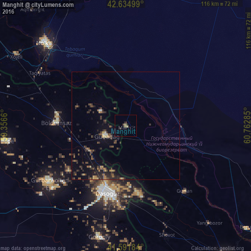
Analysis of Manghit night lights 2016
Square area 10x10 km:
 0%
0%90-99
0%80-89
0.61%70-79
0.3%60-69
1.36%50-59
0.76%40-49
0.61%30-39
1.21%20-29
0.61%10-19
1.82%0-9
92.73%Square area 50x50 km:
0.08%90-99
0.08%80-89
0.38%70-79
0.37%60-69
0.53%50-59
0.73%40-49
0.78%30-39
1.42%20-29
1.49%10-19
2.47%0-9
91.66%Clear (daylight) street map image can be seen on geolist.org.
Map coordinates:
42° 38' 6" North, 59° 21' 23.8" East
42° 6' 56" North, 60° 3' 35" East
41° 35' 30.6" North, 60° 45' 46.3" East
Some cities around Manghit sort by population:
• Nukus
52.7 km =32.7 mi,  315°
315°
• Daşoguz, TM
32 km =19.9 mi,  193°
193°
• Gurlan
40.8 km =25.4 mi,  137°
137°
• Showot
54.9 km =34.1 mi,  158°
158°
• Yylanly, TM
46.2 km =28.7 mi,  227°
227°
• Boldumsaz, TM
32.1 km =19.9 mi,  272°
272°
• Tagta, TM
53.1 km =33 mi, 192°
• Akdepe, TM
56.6 km =35.2 mi,  263°
263°
1513245 (p: 30,854)
Sources (retrieved 2019-11-25):
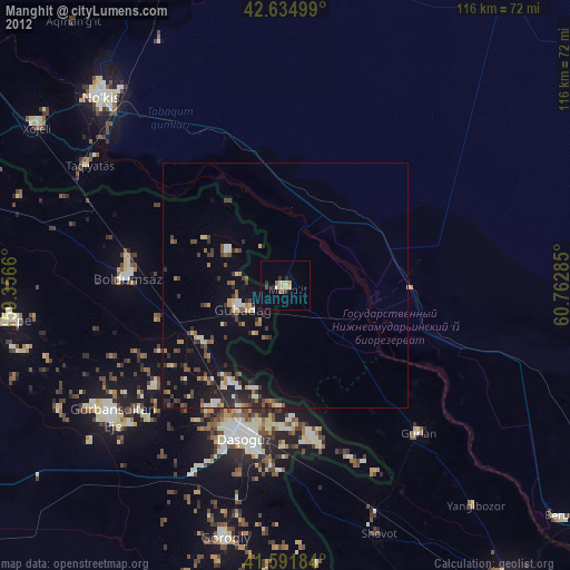
» Earth at Night: Flat Maps 2012, 2016