Köneürgench night lights from space
Night Light of Köneürgench (Daşoguz) from space (Turkmenistan) Src. Average luminocity for 10x10km area is 25.3379% and for 50x50km: 2.0254%.
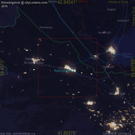
Analysis of Köneürgench night lights 2016
Square area 10x10 km:
 5.3%
5.3%90-99
5.45%80-89
2.27%70-79
2.73%60-69
1.82%50-59
0.76%40-49
2.73%30-39
2.73%20-29
3.03%10-19
32.27%0-9
40.91%Square area 50x50 km:
0.3%90-99
0.35%80-89
0.15%70-79
0.2%60-69
0.15%50-59
0.16%40-49
0.28%30-39
0.28%20-29
0.44%10-19
1.79%0-9
95.89%Clear (daylight) street map image can be seen on geolist.org.
Map coordinates:
42° 50' 43.5" North, 58° 27' 4.7" East
42° 19' 39.8" North, 59° 9' 15.9" East
41° 48' 20.7" North, 59° 51' 27.2" East
Some cities around Köneürgench sort by population:
• Nukus, UZ
39.9 km =24.8 mi,  69°
69°
• Oltinko‘l, UZ
84.9 km =52.8 mi,  346°
346°
• Xo‘jayli Shahri, UZ
25.6 km =15.9 mi, 69°
• Manghit, UZ
78.2 km =48.6 mi,  107°
107°
• Yylanly
68.5 km =42.6 mi,  143°
143°
• Boldumsaz
48 km =29.8 mi,  117°
117°
• Akdepe
35.5 km =22.1 mi,  148°
148°
• Kegeyli Shahar, UZ
62.2 km =38.6 mi,  36°
36°
601608 (p: 30,000)
Sources (retrieved 2019-11-25):
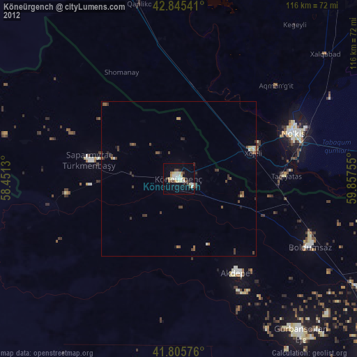
» Earth at Night: Flat Maps 2012, 2016