Jizzax night lights from space
Night Light of Jizzax from space (Uzbekistan) Src. Average luminocity for 10x10km area is 62.7971% and for 50x50km: 5.5117%.
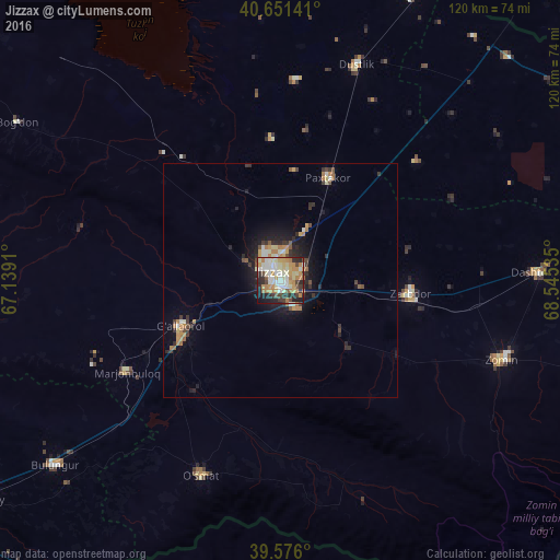
Analysis of Jizzax night lights 2016
Square area 10x10 km:
 7.14%
7.14%90-99
19.48%80-89
10.39%70-79
13.96%60-69
9.74%50-59
2.44%40-49
6.49%30-39
7.14%20-29
14.45%10-19
8.12%0-9
0.65%Square area 50x50 km:
0.38%90-99
1.1%80-89
0.55%70-79
0.95%60-69
1%50-59
0.43%40-49
0.65%30-39
1%20-29
1.6%10-19
3.25%0-9
89.08%Clear (daylight) street map image can be seen on geolist.org.
Map coordinates:
40° 39' 5.1" North, 67° 8' 20.8" East
40° 6' 57" North, 67° 50' 32" East
39° 34' 33.6" North, 68° 32' 43.3" East
Some cities around Jizzax sort by population:
• Panjakent, TJ
71.8 km =44.6 mi,  196°
196°
• Zomin
50.2 km =31.2 mi,  110°
110°
• Bulung’ur
62.4 km =38.8 mi,  231°
231°
• Gagarin
66.8 km =41.5 mi,  24°
24°
• Paxtakor
24.1 km =15 mi, 23°
• Dashtobod
55.5 km =34.5 mi,  88°
88°
• Dŭstlik
48.3 km =30 mi, 19°
• Pakhtakoron, TJ
77 km =47.8 mi, 86°
1513886 (p: 152,642)
Sources (retrieved 2019-11-25):
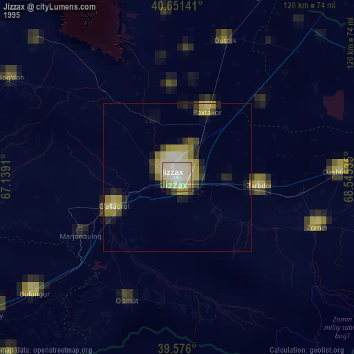
» NASA, Earths city lights 1995
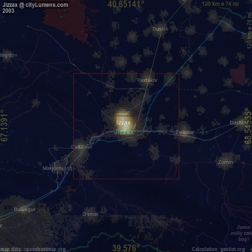
» NASA city lights 2003
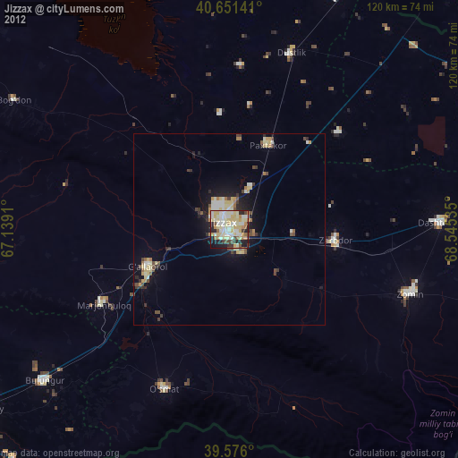
» Earth at Night: Flat Maps 2012, 2016