Panjakent night lights from space
Night Light of Panjakent (Sughd) from space (Tajikistan) Src. Average luminocity for 10x10km area is 15.9367% and for 50x50km: 0.8051%.
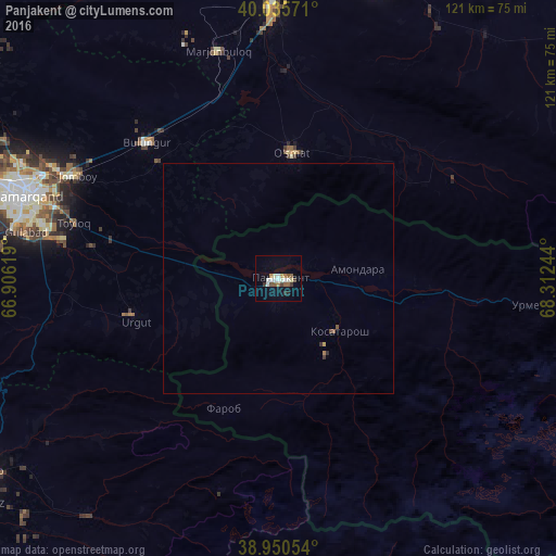
Analysis of Panjakent night lights 2016
Square area 10x10 km:
 2.44%
2.44%90-99
4.06%80-89
0.65%70-79
0.97%60-69
2.27%50-59
2.6%40-49
0.97%30-39
2.27%20-29
1.3%10-19
4.55%0-9
77.92%Square area 50x50 km:
0.1%90-99
0.17%80-89
0.05%70-79
0.05%60-69
0.12%50-59
0.16%40-49
0.07%30-39
0.13%20-29
0.09%10-19
0.19%0-9
98.89%Clear (daylight) street map image can be seen on geolist.org.
Map coordinates:
40° 2' 8.6" North, 66° 54' 22.3" East
39° 29' 42.9" North, 67° 36' 33.5" East
38° 57' 1.9" North, 68° 18' 44.8" East
Some cities around Panjakent sort by population:
• Samarkand, UZ
58.4 km =36.3 mi,  287°
287°
• Jizzax, UZ
71.8 km =44.6 mi,  16°
16°
• Urgut, UZ
33.1 km =20.6 mi,  251°
251°
• Kitob, UZ
74.8 km =46.5 mi,  236°
236°
• Bulung’ur, UZ
41.7 km =25.9 mi,  315°
315°
• Jomboy, UZ
49.7 km =30.9 mi,  297°
297°
• Charxin, UZ
75.4 km =46.9 mi, 287°
• Daxbet, UZ
66.7 km =41.4 mi, 296°
1220798 (p: 35,085)
Sources (retrieved 2019-11-25):
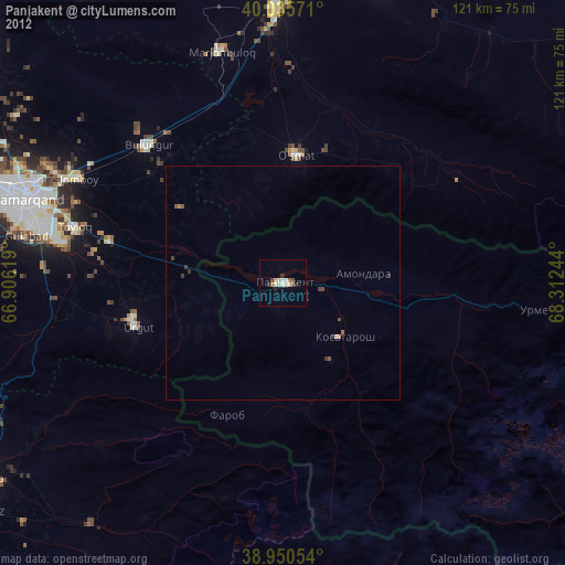
» Earth at Night: Flat Maps 2012, 2016