Melo night lights from space
Night Light of Melo (Cerro Largo) from space (Uruguay) Src. Average luminocity for 10x10km area is 21.4377% and for 50x50km: 1.046%.
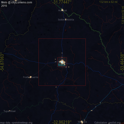
Analysis of Melo night lights 2016
Square area 10x10 km:
 2.56%
2.56%90-99
3.11%80-89
2.93%70-79
3.11%60-69
4.4%50-59
2.93%40-49
0.73%30-39
2.01%20-29
1.1%10-19
15.75%0-9
61.36%Square area 50x50 km:
0.1%90-99
0.12%80-89
0.12%70-79
0.15%60-69
0.18%50-59
0.18%40-49
0.07%30-39
0.14%20-29
0.04%10-19
0.69%0-9
98.21%Clear (daylight) street map image can be seen on geolist.org.
Map coordinates:
31° 46' 28.1" South, 54° 52' 14.3" West
32° 22' 13" South, 54° 10' 3" West
32° 57' 43.9" South, 53° 27' 51.8" West
Some cities around Melo sort by population:
• Bagé, BR
115.7 km =71.9 mi,  2°
2°
• Jaguarão, BR
77.4 km =48.1 mi,  106°
106°
• Treinta y Tres
98.1 km =61 mi,  191°
191°
• Herval, BR
82.2 km =51.1 mi,  62°
62°
• Arroio Grande, BR
102.6 km =63.8 mi,  81°
81°
• Río Branco
77.6 km =48.2 mi, 109°
• Pinheiro Machado, BR
115.1 km =71.5 mi,  40°
40°
• José Pedro Varela
125.4 km =77.9 mi,  195°
195°
3441702 (p: 51,023)
Sources (retrieved 2019-11-25):
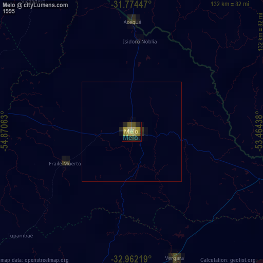
» NASA, Earths city lights 1995
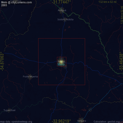
» NASA city lights 2003
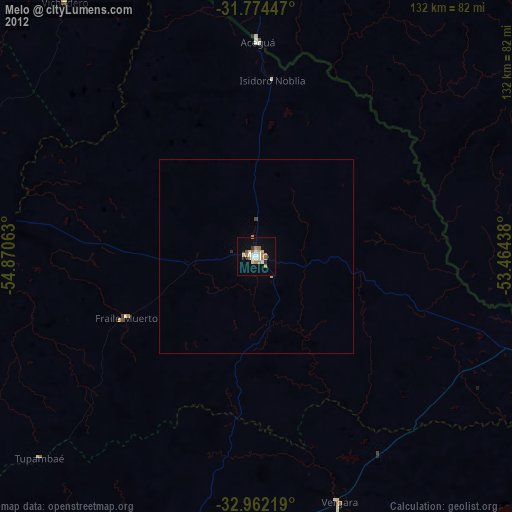
» Earth at Night: Flat Maps 2012, 2016