Punta del Este night lights from space
Night Light of Punta del Este (Maldonado) from space (Uruguay) Src. Average luminocity for 10x10km area is 35.4853% and for 50x50km: 3.9705%.
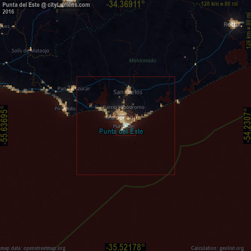
Analysis of Punta del Este night lights 2016
Square area 10x10 km:
 3.3%
3.3%90-99
6.41%80-89
5.68%70-79
5.13%60-69
6.96%50-59
5.49%40-49
4.58%30-39
2.01%20-29
8.61%10-19
28.39%0-9
23.44%Square area 50x50 km:
0.14%90-99
0.34%80-89
0.4%70-79
0.56%60-69
0.8%50-59
0.96%40-49
0.76%30-39
0.62%20-29
0.82%10-19
3.2%0-9
91.4%Clear (daylight) street map image can be seen on geolist.org.
Map coordinates:
34° 22' 8.8" South, 55° 38' 13" West
34° 56' 50.9" South, 54° 56' 1.8" West
35° 31' 18.4" South, 54° 13' 50.5" West
Some cities around Punta del Este sort by population:
• Maldonado
5.5 km =3.4 mi,  344°
344°
• Minas
69.4 km =43.1 mi, 336°
• Barros Blancos
99.9 km =62.1 mi,  282°
282°
• Rocha
75.3 km =46.8 mi,  46°
46°
• San Carlos
17.4 km =10.8 mi,  4°
4°
• Pando
97 km =60.3 mi,  285°
285°
• Piriápolis
32.5 km =20.2 mi, 286°
• Pan de Azúcar
33.3 km =20.7 mi,  304°
304°
3440939 (p: 7,234)
Sources (retrieved 2019-11-25):
» Earth at Night: Flat Maps 2012, 2016