Montevideo night lights from space
Night Light of Montevideo from space (Uruguay) Src. Average luminocity for 10x10km area is 71.3388% and for 50x50km: 25.653%.
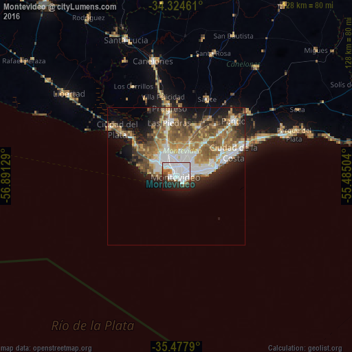
Analysis of Montevideo night lights 2016
Square area 10x10 km:
 43.22%
90-99
13%80-89
0.73%70-79
1.47%60-69
3.11%50-59
6.41%40-49
2.93%30-39
6.23%20-29
13.92%10-19
8.61%0-9
0.37%Square area 50x50 km:
5.46%90-99
4.64%80-89
2.66%70-79
3.3%60-69
3.96%50-59
5.37%40-49
3.76%30-39
2.68%20-29
5.06%10-19
8.81%0-9
54.3%Clear (daylight) street map image can be seen on geolist.org.
Map coordinates:
34° 19' 28.6" South, 56° 53' 28.6" West
34° 54' 11.8" South, 56° 11' 17.4" West
35° 28' 40.4" South, 55° 29' 6.1" West
Some cities around Montevideo sort by population:
• Las Piedras
19.5 km =12.1 mi,  351°
351°
• Barros Blancos
23.8 km =14.8 mi,  45°
45°
• La Paz
16.3 km =10.1 mi, 347°
• Delta del Tigre
22.3 km =13.9 mi,  313°
313°
• Progreso
26.4 km =16.4 mi, 354°
• Paso de Carrasco
13.3 km =8.3 mi,  68°
68°
• Colonia Nicolich
17.9 km =11.1 mi,  56°
56°
• Joaquín Suárez
23.4 km =14.5 mi,  36°
36°
3441575 (p: 1,270,737)
Sources (retrieved 2019-11-25):
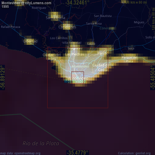
» NASA, Earths city lights 1995
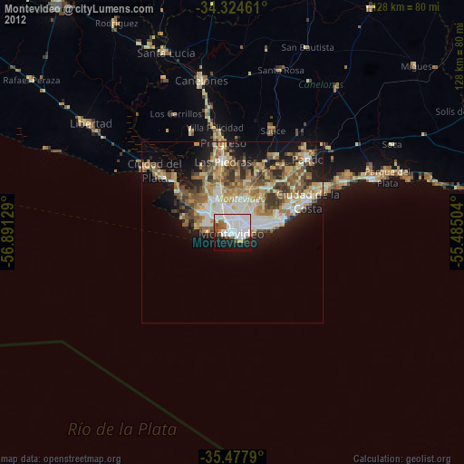
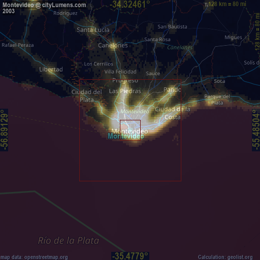
» NASA city lights 2003
» Earth at Night: Flat Maps 2012, 2016