Yucca Valley night lights from space
Night Light of Yucca Valley (California) from space (United States) Src. Average luminocity for 10x10km area is 20.2546% and for 50x50km: 3.4454%.
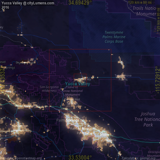
Analysis of Yucca Valley night lights 2016
Square area 10x10 km:
 1.28%
1.28%90-99
0.92%80-89
0%70-79
0.92%60-69
9.89%50-59
4.95%40-49
4.03%30-39
4.95%20-29
3.11%10-19
6.23%0-9
63.74%Square area 50x50 km:
0.09%90-99
0.12%80-89
0.08%70-79
0.19%60-69
1.45%50-59
0.96%40-49
0.69%30-39
0.7%20-29
0.48%10-19
2.97%0-9
92.27%Clear (daylight) street map image can be seen on geolist.org.
Map coordinates:
34° 41' 39.4" North, 117° 8' 7.3" West
34° 6' 51" North, 116° 25' 56.1" West
33° 31' 48.1" North, 115° 43' 44.8" West
Some cities around Yucca Valley sort by population:
• Cathedral City
37.3 km =23.2 mi,  184°
184°
• Palm Springs
33.2 km =20.6 mi,  198°
198°
• Desert Hot Springs
18.2 km =11.3 mi, 201°
• Twentynine Palms
34.9 km =21.7 mi,  86°
86°
• Big Bear City
41.3 km =25.7 mi,  293°
293°
• Thousand Palms
32.9 km =20.4 mi,  173°
173°
• Garnet
25.8 km =16 mi, 203°
• Joshua Tree
11.2 km =7 mi,  78°
78°
5411079 (p: 21,600)
Sources (retrieved 2019-11-25):
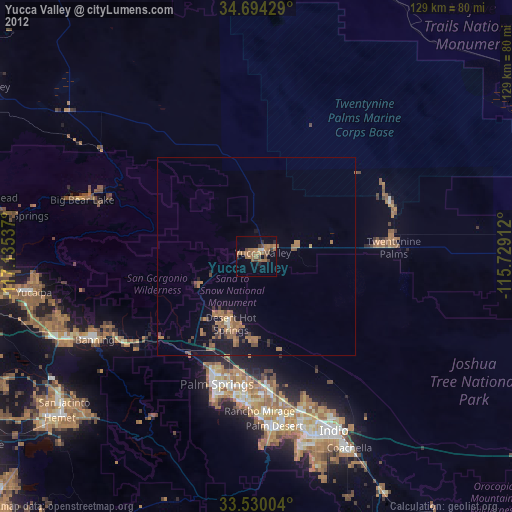
» Earth at Night: Flat Maps 2012, 2016