York night lights from space
Night Light of York (Pennsylvania) from space (United States) Src. Average luminocity for 10x10km area is 81.8844% and for 50x50km: 23.2196%.
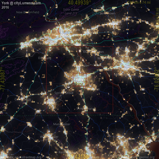
Analysis of York night lights 2016
Square area 10x10 km:
 29.76%
90-99
23.47%80-89
6.8%70-79
6.8%60-69
18.54%50-59
6.29%40-49
3.91%30-39
3.57%20-29
0.85%10-19
0%0-9
0%Square area 50x50 km:
2.49%90-99
2.78%80-89
2.92%70-79
3.1%60-69
3.71%50-59
3.42%40-49
3.79%30-39
4.03%20-29
7.93%10-19
20.75%0-9
45.08%Clear (daylight) street map image can be seen on geolist.org.
Map coordinates:
40° 29' 57.8" North, 77° 25' 51.1" West
39° 57' 45.4" North, 76° 43' 39.9" West
39° 25' 17.6" North, 76° 1' 28.6" West
Some cities around York sort by population:
• Weigelstown
8.4 km =5.2 mi,  286°
286°
• Elizabethtown
23.7 km =14.7 mi,  26°
26°
• Shiloh
6.2 km =3.9 mi, 286°
• Columbia
20.6 km =12.8 mi,  67°
67°
• Middletown
26.4 km =16.4 mi,  359°
359°
• East York
3.7 km =2.3 mi, 70°
• Mount Joy
25.2 km =15.7 mi,  49°
49°
• Red Lion
12.5 km =7.8 mi,  123°
123°
4562407 (p: 43,992)
Sources (retrieved 2019-11-25):
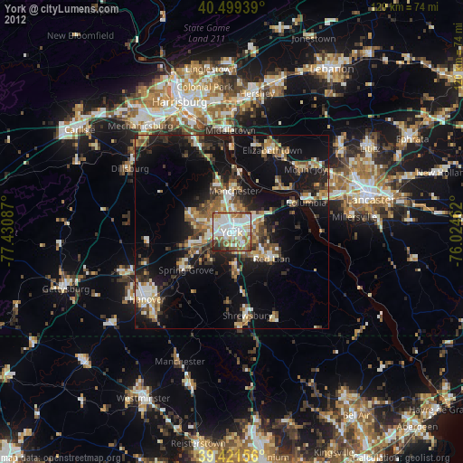
» Earth at Night: Flat Maps 2012, 2016