Worcester night lights from space
Night Light of Worcester (Massachusetts) from space (United States) Src. Average luminocity for 10x10km area is 85.7455% and for 50x50km: 25.3745%.
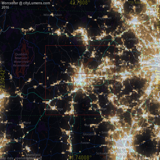
Analysis of Worcester night lights 2016
Square area 10x10 km:
 27.73%
90-99
29.39%80-89
7.73%70-79
13.79%60-69
15%50-59
3.03%40-49
1.97%30-39
1.06%20-29
0.3%10-19
0%0-9
0%Square area 50x50 km:
2.82%90-99
3.72%80-89
3.41%70-79
3.03%60-69
3.8%50-59
4.17%40-49
3.9%30-39
4.29%20-29
8.04%10-19
18.29%0-9
44.53%Clear (daylight) street map image can be seen on geolist.org.
Map coordinates:
42° 46' 50.9" North, 72° 30' 19.5" West
42° 15' 45.3" North, 71° 48' 8.2" West
41° 44' 24.3" North, 71° 5' 57" West
Some cities around Worcester sort by population:
• Shrewsbury
8.2 km =5.1 mi,  63°
63°
• Holden
11.1 km =6.9 mi,  333°
333°
• Auburn
8 km =5 mi,  199°
199°
• Grafton
11.4 km =7.1 mi,  122°
122°
• Millbury
8.4 km =5.2 mi,  155°
155°
• Leicester
8.9 km =5.5 mi,  258°
258°
• Hamilton Worcester
2.9 km =1.8 mi,  103°
103°
• West Boylston
11.7 km =7.3 mi,  6°
6°
4956184 (p: 184,815)
Sources (retrieved 2019-11-25):
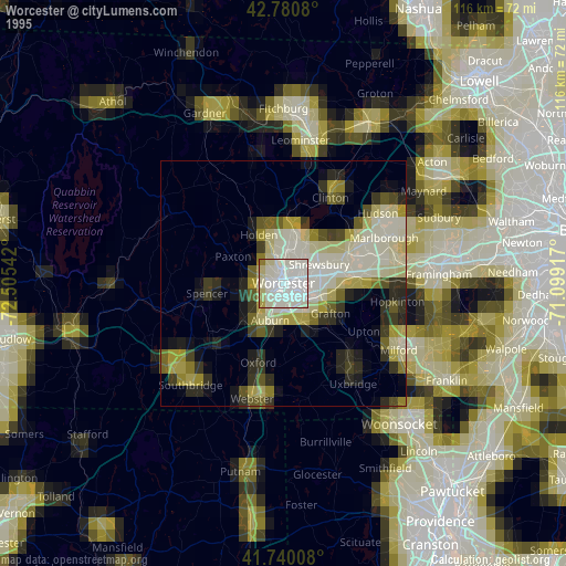
» NASA, Earths city lights 1995
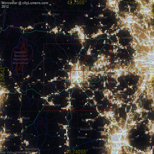
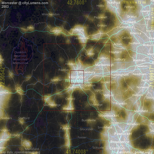
» NASA city lights 2003
» Earth at Night: Flat Maps 2012, 2016