Wharton night lights from space
Night Light of Wharton (Pennsylvania) from space (United States) Src. Average luminocity for 10x10km area is 98.4286% and for 50x50km: 80.2035%.
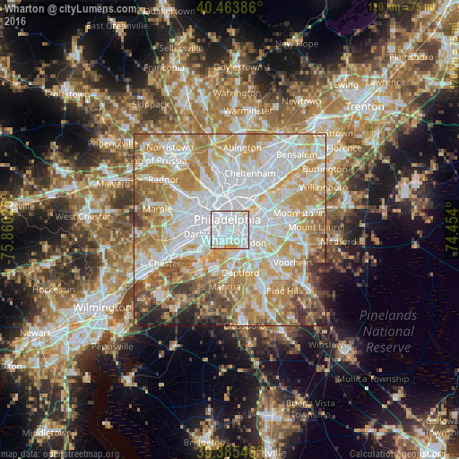

Analysis of Wharton night lights 2016
Square area 10x10 km:
 80.44%
90-99
13.61%80-89
2.72%70-79
3.23%60-69
0%50-59
0%40-49
0%30-39
0%20-29
0%10-19
0%0-9
0%Square area 50x50 km:
26.23%90-99
19.21%80-89
11.41%70-79
14.41%60-69
12.19%50-59
6.16%40-49
4.53%30-39
2.92%20-29
2%10-19
0.94%0-9
0%Clear (daylight) street map image can be seen on geolist.org.
Map coordinates:
40° 27' 49.9" North, 75° 51' 36.9" West
39° 55' 36.4" North, 75° 9' 25.6" West
39° 23' 7.7" North, 74° 27' 14.4" West
Some cities around Wharton sort by population:
• Philadelphia
2.9 km =1.8 mi,  348°
348°
• Camden
3.2 km =2 mi,  91°
91°
• Center City
2.7 km =1.7 mi,  356°
356°
• Whitman
1.1 km =0.7 mi,  172°
172°
• Pennsport
0.6 km =0.4 mi,  80°
80°
• Collingswood
7.4 km =4.6 mi,  97°
97°
• Gloucester City
5.2 km =3.2 mi,  138°
138°
• Audubon
8.2 km =5.1 mi,  119°
119°
4562193 (p: 49,732)
Sources (retrieved 2019-11-25):
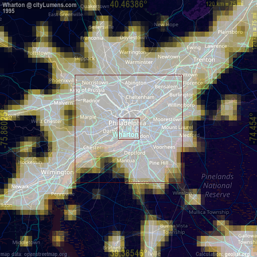
» NASA, Earths city lights 1995
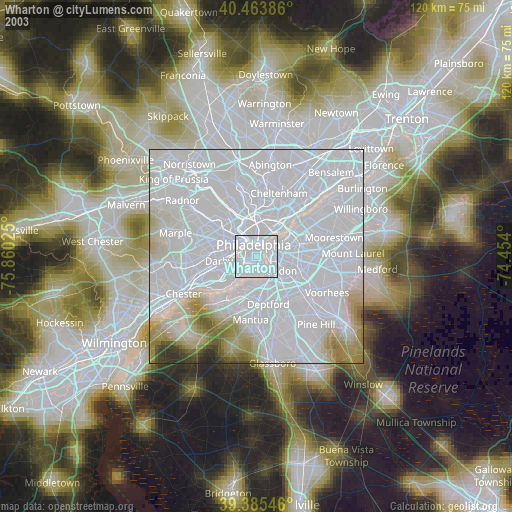
» NASA city lights 2003
» Earth at Night: Flat Maps 2012, 2016