Pennsport night lights from space
Night Light of Pennsport (Pennsylvania) from space (United States) Src. Average luminocity for 10x10km area is 98.8163% and for 50x50km: 80.5104%.
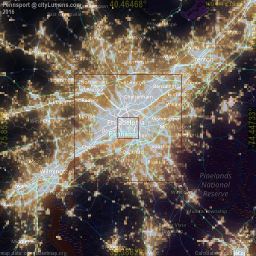
Analysis of Pennsport night lights 2016
Square area 10x10 km:
 81.12%
90-99
14.12%80-89
3.06%70-79
1.7%60-69
0%50-59
0%40-49
0%30-39
0%20-29
0%10-19
0%0-9
0%Square area 50x50 km:
26.26%90-99
19.31%80-89
11.59%70-79
14.62%60-69
12.36%50-59
6.02%40-49
4.32%30-39
2.83%20-29
1.98%10-19
0.71%0-9
0%Clear (daylight) street map image can be seen on geolist.org.
Map coordinates:
40° 27' 52.8" North, 75° 51' 12.9" West
39° 55' 39.4" North, 75° 9' 1.6" West
39° 23' 10.6" North, 74° 26' 50.4" West
Some cities around Pennsport sort by population:
• Philadelphia
3 km =1.9 mi,  337°
337°
• Camden
2.6 km =1.6 mi,  94°
94°
• Center City
2.7 km =1.7 mi, 344°
• Whitman
1.3 km =0.8 mi,  199°
199°
• Wharton
0.6 km =0.4 mi,  260°
260°
• Collingswood
6.8 km =4.2 mi,  98°
98°
• Gloucester City
4.9 km =3 mi,  143°
143°
• Audubon
7.8 km =4.8 mi,  121°
121°
4560303 (p: 26,000)
Sources (retrieved 2019-11-25):
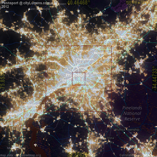
» Earth at Night: Flat Maps 2012, 2016