Philadelphia night lights from space
Night Light of Philadelphia (Pennsylvania) from space (United States) Src. Average luminocity for 10x10km area is 99.665% and for 50x50km: 81.498%.
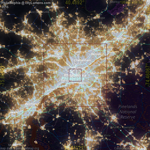
Analysis of Philadelphia night lights 2016
Square area 10x10 km:
 89.97%
90-99
8.67%80-89
1.36%70-79
0%60-69
0%50-59
0%40-49
0%30-39
0%20-29
0%10-19
0%0-9
0%Square area 50x50 km:
26.22%90-99
19.52%80-89
11.82%70-79
15.3%60-69
13.24%50-59
6.19%40-49
4.28%30-39
2.33%20-29
1.07%10-19
0.03%0-9
0%Clear (daylight) street map image can be seen on geolist.org.
Map coordinates:
40° 29' 21.1" North, 75° 52' 0.9" West
39° 57' 8.4" North, 75° 9' 49.6" West
39° 24' 40.4" North, 74° 27' 38.4" West
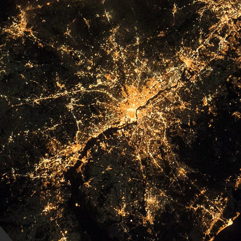
Fantastic image of Philadelphia from space taken by astronauts [src2], but I don't have information about it's orientation, scale or angle. If necessary, it was rotated manually, so North points approximately to upper direction. Click to zoom in:
Some cities around Philadelphia sort by population:
• Camden
4.8 km =3 mi,  127°
127°
• Center City
0.4 km =0.2 mi,  107°
107°
• Whitman
4 km =2.5 mi,  169°
169°
• Wharton
2.9 km =1.8 mi, 168°
• Pennsport
3 km =1.9 mi,  157°
157°
• Yeadon
8 km =5 mi,  259°
259°
• Gloucester City
7.9 km =4.9 mi,  148°
148°
• Bala-Cynwyd
8.6 km =5.3 mi,  315°
315°
4560349 (p: 1,567,442)
Sources (retrieved 2019-11-25):
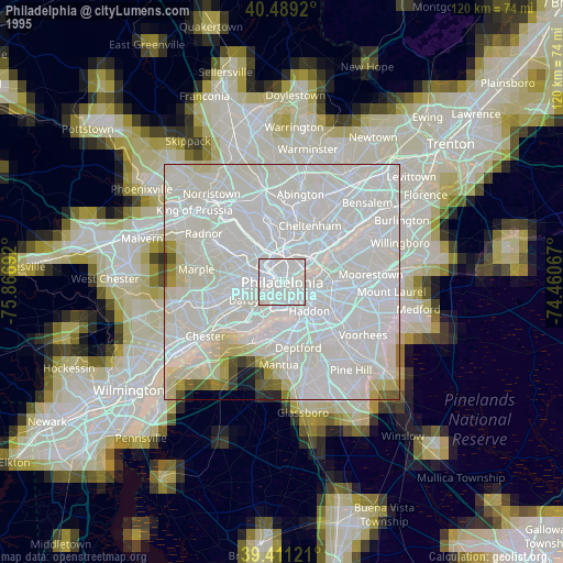
» NASA, Earths city lights 1995
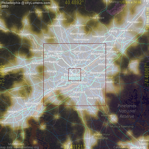
» NASA city lights 2003
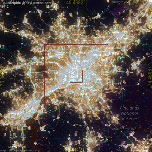
» Earth at Night: Flat Maps 2012, 2016
Src.2: Shane Kimbrough Twitter@astro_kimbroughĀĀ2017-01-11