West Elkridge night lights from space
Night Light of West Elkridge (Maryland) from space (United States) Src. Average luminocity for 10x10km area is 88.099% and for 50x50km: 71.5339%.
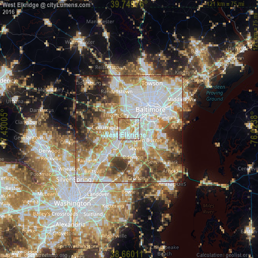
Analysis of West Elkridge night lights 2016
Square area 10x10 km:
 30.19%
90-99
27.76%80-89
10.23%70-79
19.97%60-69
10.39%50-59
1.46%40-49
0%30-39
0%20-29
0%10-19
0%0-9
0%Square area 50x50 km:
21.24%90-99
17.32%80-89
8.78%70-79
10.23%60-69
10.11%50-59
9.25%40-49
6.16%30-39
6.43%20-29
4.69%10-19
5.64%0-9
0.15%Clear (daylight) street map image can be seen on geolist.org.
Map coordinates:
39° 44' 59.1" North, 77° 25' 48.2" West
39° 12' 25.4" North, 76° 43' 36.9" West
38° 39' 36.4" North, 76° 1' 25.7" West
Some cities around West Elkridge sort by population:
• Catonsville
7.2 km =4.5 mi,  356°
356°
• Hanover
1.6 km =1 mi,  171°
171°
• Ilchester
5.9 km =3.7 mi,  326°
326°
• Arbutus
5.8 km =3.6 mi,  23°
23°
• Elkridge
1.3 km =0.8 mi,  61°
61°
• Linthicum
6.4 km =4 mi,  91°
91°
• Lansdowne
7.1 km =4.4 mi,  53°
53°
• Jessup
7.7 km =4.8 mi,  212°
212°
4373104 (p: 28,734)
Sources (retrieved 2019-11-25):
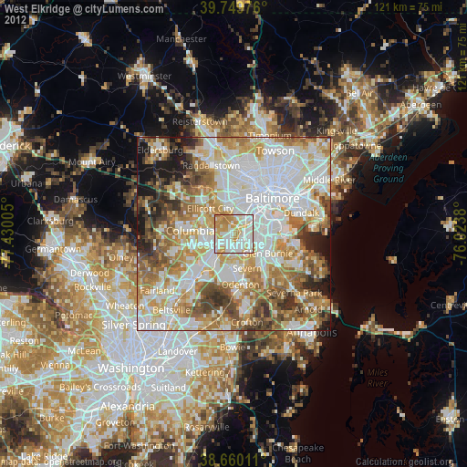
» Earth at Night: Flat Maps 2012, 2016