Wauseon night lights from space
Night Light of Wauseon (Ohio) from space (United States) Src. Average luminocity for 10x10km area is 17.6565% and for 50x50km: 4.5464%.
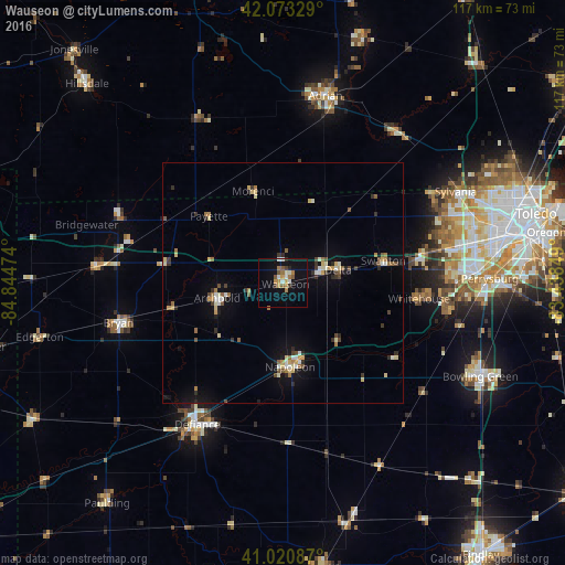
Analysis of Wauseon night lights 2016
Square area 10x10 km:
 2.04%
2.04%90-99
2.72%80-89
0.17%70-79
3.91%60-69
3.4%50-59
2.72%40-49
0.85%30-39
1.87%20-29
1.02%10-19
12.59%0-9
68.71%Square area 50x50 km:
0.36%90-99
0.64%80-89
0.66%70-79
0.43%60-69
0.67%50-59
0.57%40-49
0.52%30-39
0.59%20-29
0.78%10-19
2.27%0-9
92.51%Clear (daylight) street map image can be seen on geolist.org.
Map coordinates:
42° 4' 23.8" North, 84° 50' 41.1" West
41° 32' 57.2" North, 84° 8' 29.8" West
41° 1' 15.1" North, 83° 26' 18.6" West
Some cities around Wauseon sort by population:
• Perrysburg
42.8 km =26.6 mi,  88°
88°
• Adrian
39.7 km =24.7 mi,  12°
12°
• Sylvania
40.3 km =25 mi,  62°
62°
• Defiance
34.4 km =21.4 mi,  211°
211°
• Maumee
40.6 km =25.2 mi, 87°
• Napoleon
17.5 km =10.9 mi,  175°
175°
• Bryan
35.2 km =21.9 mi,  256°
256°
• Waterville
35.6 km =22.1 mi,  98°
98°
5175877 (p: 7,316)
Sources (retrieved 2019-11-25):
» Earth at Night: Flat Maps 2012, 2016