Waco night lights from space
Night Light of Waco (Texas) from space (United States) Src. Average luminocity for 10x10km area is 85.0262% and for 50x50km: 13.2425%.
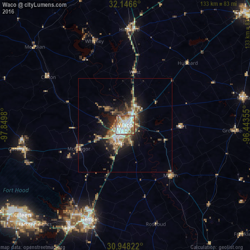
Analysis of Waco night lights 2016
Square area 10x10 km:
 27.27%
90-99
29.9%80-89
9.44%70-79
7.87%60-69
13.99%50-59
8.04%40-49
1.92%30-39
0.87%20-29
0.7%10-19
0%0-9
0%Square area 50x50 km:
1.79%90-99
2.12%80-89
1.87%70-79
1.03%60-69
2.51%50-59
2.08%40-49
2.34%30-39
1.82%20-29
3.46%10-19
6.59%0-9
74.38%Clear (daylight) street map image can be seen on geolist.org.
Map coordinates:
32° 8' 47.8" North, 97° 50' 59.3" West
31° 32' 57.6" North, 97° 8' 48" West
30° 56' 53.6" North, 96° 26' 36.8" West
Some cities around Waco sort by population:
• Hewitt
10.7 km =6.6 mi,  205°
205°
• Robinson
9.6 km =6 mi,  161°
161°
• Bellmead
6.1 km =3.8 mi,  35°
35°
• Woodway
7.3 km =4.5 mi,  228°
228°
• Hillsboro
51.4 km =31.9 mi,  1°
1°
• Lacy-Lakeview
9.8 km =6.1 mi,  25°
25°
• Marlin
35.9 km =22.3 mi,  138°
138°
• McGregor
27.5 km =17.1 mi,  244°
244°
4739526 (p: 132,356)
Sources (retrieved 2019-11-25):
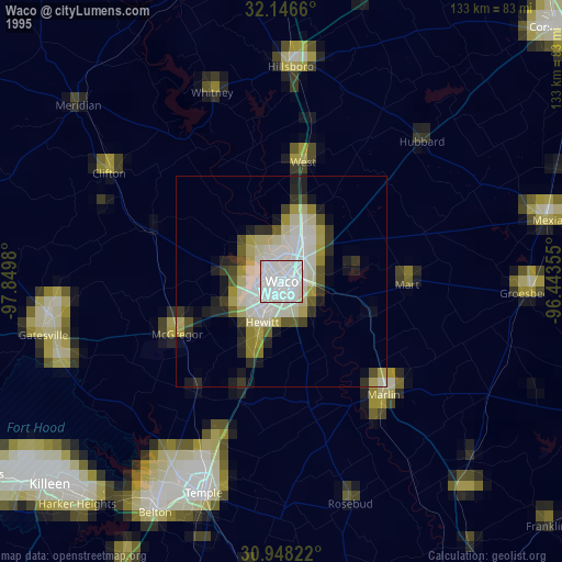
» NASA, Earths city lights 1995
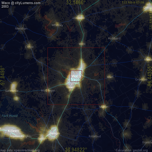
» NASA city lights 2003
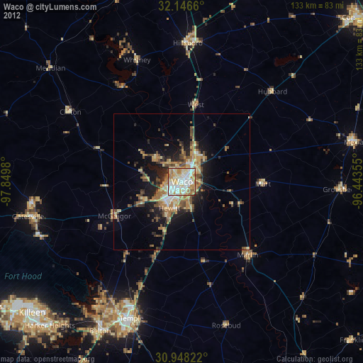
» Earth at Night: Flat Maps 2012, 2016