Hillsboro night lights from space
Night Light of Hillsboro (Texas) from space (United States) Src. Average luminocity for 10x10km area is 27.3024% and for 50x50km: 3.823%.
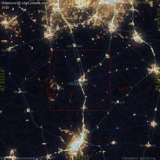
Analysis of Hillsboro night lights 2016
Square area 10x10 km:
 3.32%
3.32%90-99
1.57%80-89
6.64%70-79
4.2%60-69
4.72%50-59
2.27%40-49
5.07%30-39
4.02%20-29
1.05%10-19
30.59%0-9
36.54%Square area 50x50 km:
0.22%90-99
0.1%80-89
0.81%70-79
0.59%60-69
0.5%50-59
0.58%40-49
0.62%30-39
1.1%20-29
0.74%10-19
1.71%0-9
93.03%Clear (daylight) street map image can be seen on geolist.org.
Map coordinates:
32° 36' 18.9" North, 97° 49' 59.3" West
32° 0' 39.6" North, 97° 7' 48" West
31° 24' 46.3" North, 96° 25' 36.8" West
Some cities around Hillsboro sort by population:
• Waco
51.4 km =31.9 mi,  181°
181°
• Waxahachie
49.5 km =30.8 mi,  32°
32°
• Cleburne
44.5 km =27.7 mi,  327°
327°
• Midlothian
53.9 km =33.5 mi,  13°
13°
• Bellmead
46.4 km =28.8 mi, 177°
• Lacy-Lakeview
42.5 km =26.4 mi, 176°
• Keene
46.6 km =29 mi,  336°
336°
• Joshua
55.7 km =34.6 mi, 334°
4697867 (p: 8,321)
Sources (retrieved 2019-11-25):
» Earth at Night: Flat Maps 2012, 2016