Wabash night lights from space
Night Light of Wabash (Indiana) from space (United States) Src. Average luminocity for 10x10km area is 22.9626% and for 50x50km: 3.8569%.
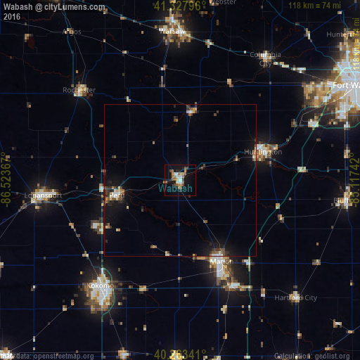
Analysis of Wabash night lights 2016
Square area 10x10 km:
 3.06%
3.06%90-99
3.74%80-89
1.36%70-79
2.38%60-69
4.93%50-59
5.27%40-49
2.38%30-39
1.36%20-29
2.89%10-19
19.56%0-9
53.06%Square area 50x50 km:
0.26%90-99
0.42%80-89
0.35%70-79
0.34%60-69
0.55%50-59
0.66%40-49
0.61%30-39
0.62%20-29
1.01%10-19
3.76%0-9
91.42%Clear (daylight) street map image can be seen on geolist.org.
Map coordinates:
41° 19' 40.7" North, 86° 31' 25.2" West
40° 47' 52.2" North, 85° 49' 13.9" West
40° 15' 48.3" North, 85° 7' 2.7" West
Some cities around Wabash sort by population:
• Kokomo
43.5 km =27 mi,  217°
217°
• Marion
29.9 km =18.6 mi,  152°
152°
• Huntington
28.8 km =17.9 mi,  70°
70°
• Peru
21.5 km =13.4 mi,  256°
256°
• Mount Vernon
14.3 km =8.9 mi,  181°
181°
• North Manchester
23 km =14.3 mi,  10°
10°
• Gas City
38.7 km =24 mi, 153°
• Grissom Air Force Base
31.7 km =19.7 mi,  240°
240°
4927746 (p: 10,381)
Sources (retrieved 2019-11-25):
» Earth at Night: Flat Maps 2012, 2016