Marion night lights from space
Night Light of Marion (Indiana) from space (United States) Src. Average luminocity for 10x10km area is 48.1721% and for 50x50km: 5.5641%.
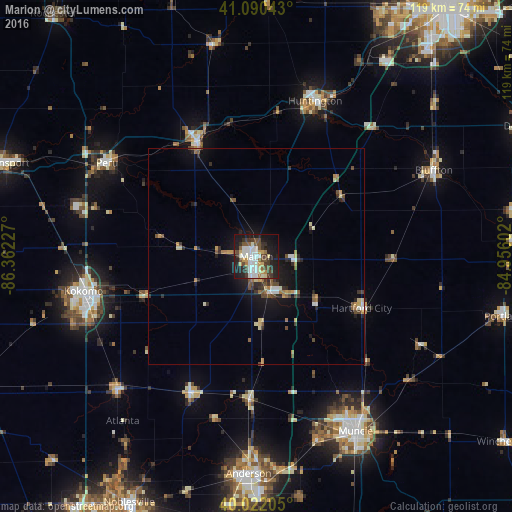
Analysis of Marion night lights 2016
Square area 10x10 km:
 9.58%
9.58%90-99
13.31%80-89
3.9%70-79
4.87%60-69
2.11%50-59
6.01%40-49
8.93%30-39
9.25%20-29
13.15%10-19
25%0-9
3.9%Square area 50x50 km:
0.59%90-99
0.9%80-89
0.55%70-79
0.6%60-69
0.62%50-59
0.78%40-49
1%30-39
0.84%20-29
1.49%10-19
4.16%0-9
88.48%Clear (daylight) street map image can be seen on geolist.org.
Map coordinates:
41° 5' 25.5" North, 86° 21' 44.2" West
40° 33' 30.1" North, 85° 39' 32.9" West
40° 1' 19.4" North, 84° 57' 21.7" West
Some cities around Marion sort by population:
• Huntington
38.6 km =24 mi,  20°
20°
• Peru
40.8 km =25.4 mi,  302°
302°
• Wabash
29.9 km =18.6 mi,  332°
332°
• Elwood
34.9 km =21.7 mi,  206°
206°
• Mount Vernon
18.6 km =11.6 mi,  311°
311°
• Hartford City
27.2 km =16.9 mi,  115°
115°
• Gas City
8.8 km =5.5 mi,  153°
153°
• Alexandria
32.9 km =20.4 mi,  182°
182°
4923210 (p: 29,081)
Sources (retrieved 2019-11-25):
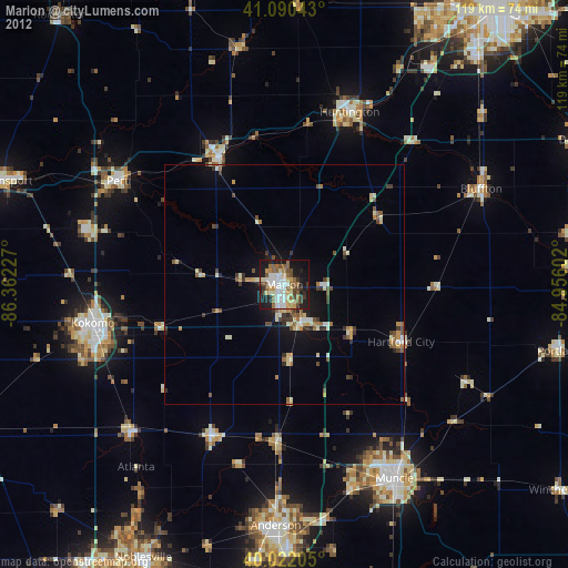
» Earth at Night: Flat Maps 2012, 2016