Vineland night lights from space
Night Light of Vineland (New Jersey) from space (United States) Src. Average luminocity for 10x10km area is 62.4935% and for 50x50km: 17.6568%.
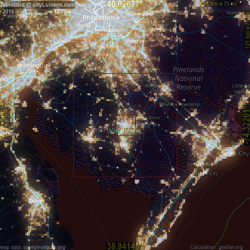
Analysis of Vineland night lights 2016
Square area 10x10 km:
 8.12%
8.12%90-99
11.36%80-89
8.12%70-79
11.36%60-69
12.99%50-59
14.94%40-49
14.61%30-39
5.03%20-29
13.15%10-19
0.32%0-9
0%Square area 50x50 km:
1.09%90-99
1.39%80-89
1.71%70-79
2.54%60-69
3.1%50-59
3.26%40-49
3.56%30-39
4.62%20-29
6.14%10-19
15.26%0-9
57.33%Clear (daylight) street map image can be seen on geolist.org.
Map coordinates:
40° 1' 36.4" North, 75° 43' 43.9" West
39° 29' 10.4" North, 75° 1' 32.6" West
38° 56' 29.3" North, 74° 19' 21.4" West
Some cities around Vineland sort by population:
• South Vineland
4.5 km =2.8 mi,  183°
183°
• Sicklerville
26.1 km =16.2 mi,  10°
10°
• Millville
9.4 km =5.8 mi,  187°
187°
• Bridgeton
19 km =11.8 mi,  249°
249°
• Glassboro
25.2 km =15.7 mi,  342°
342°
• Williamstown
22.4 km =13.9 mi, 6°
• Hammonton
25.4 km =15.8 mi,  48°
48°
• Clayton
20.2 km =12.6 mi, 343°
4504621 (p: 60,818)
Sources (retrieved 2019-11-25):
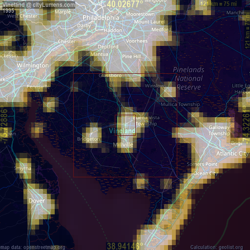
» NASA, Earths city lights 1995
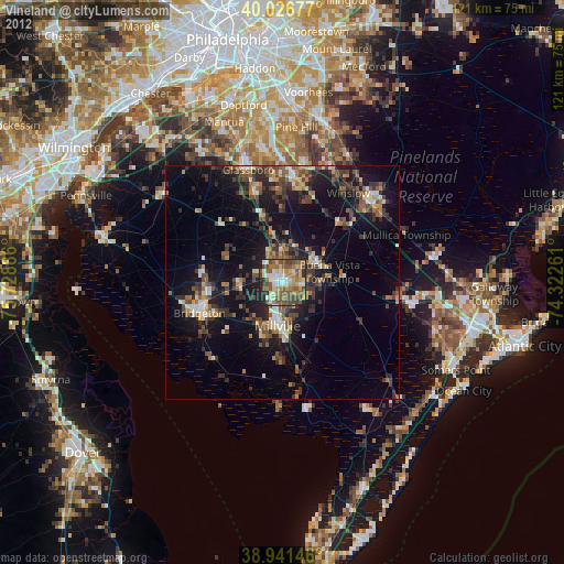
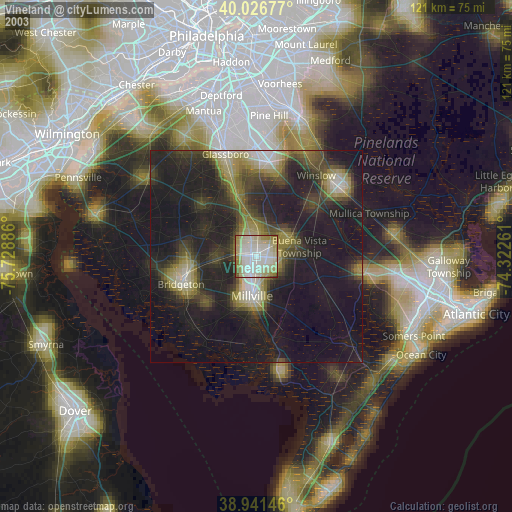
» NASA city lights 2003
» Earth at Night: Flat Maps 2012, 2016