Van Nuys night lights from space
Night Light of Van Nuys (California) from space (United States) Src. Average luminocity for 10x10km area is 96.8681% and for 50x50km: 59.0622%.
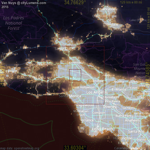
Analysis of Van Nuys night lights 2016
Square area 10x10 km:
 54.03%
90-99
34.62%80-89
4.21%70-79
6.41%60-69
0.73%50-59
0%40-49
0%30-39
0%20-29
0%10-19
0%0-9
0%Square area 50x50 km:
23.89%90-99
12.16%80-89
4.85%70-79
5.82%60-69
8.89%50-59
5.28%40-49
4.08%30-39
4.42%20-29
5.87%10-19
7.79%0-9
16.94%Clear (daylight) street map image can be seen on geolist.org.
Map coordinates:
34° 45' 58.6" North, 119° 9' 7.6" West
34° 11' 12" North, 118° 26' 56.3" West
33° 36' 10.9" North, 117° 44' 45.1" West
Some cities around Van Nuys sort by population:
• Universal City
10.3 km =6.4 mi,  121°
121°
• North Hollywood
6.6 km =4.1 mi,  104°
104°
• Northridge
9.3 km =5.8 mi,  299°
299°
• Valley Glen
0.4 km =0.2 mi,  351°
351°
• North Hills
6.4 km =4 mi,  329°
329°
• Sherman Oaks
4 km =2.5 mi,  180°
180°
• Encino
5.7 km =3.5 mi,  237°
237°
• Studio City
6.4 km =4 mi,  131°
131°
5405693 (p: 136,443)
Sources (retrieved 2019-11-25):
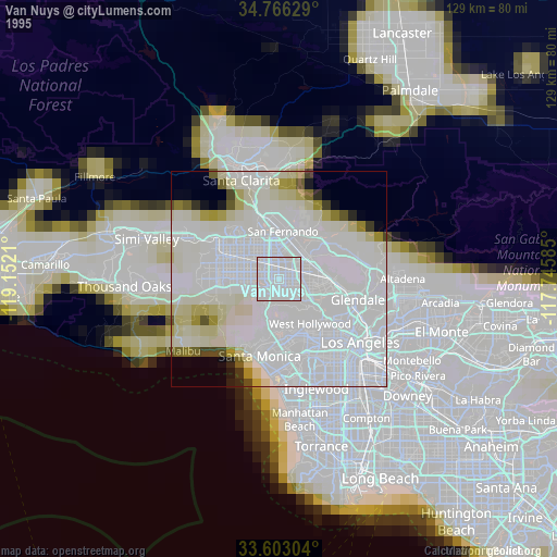
» NASA, Earths city lights 1995
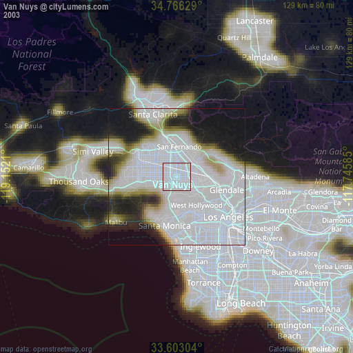
» NASA city lights 2003
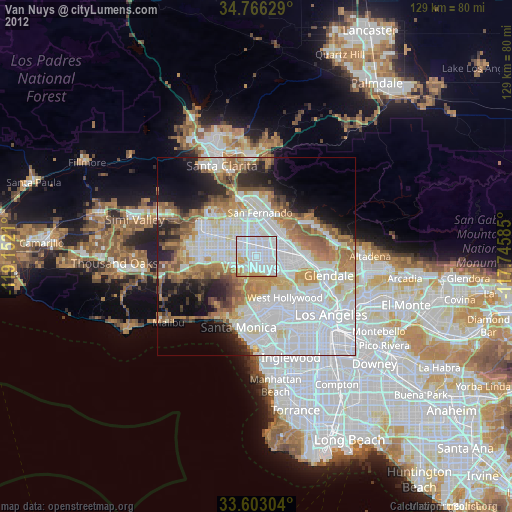
» Earth at Night: Flat Maps 2012, 2016