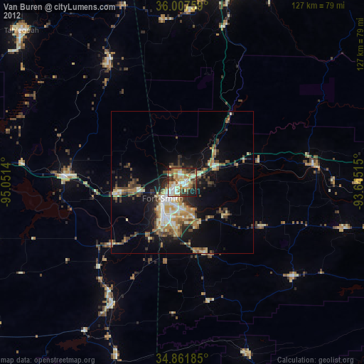
Van Buren night lights from space
Night Light of Van Buren (Arkansas) from space (United States) Src. Average luminocity for 10x10km area is 60.5165% and for 50x50km: 14.2194%.
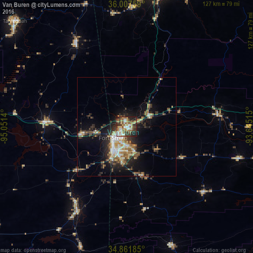
Analysis of Van Buren night lights 2016
Square area 10x10 km:
 10.26%
90-99
10.44%80-89
12.09%70-79
8.61%60-69
7.33%50-59
14.65%40-49
5.49%30-39
13.92%20-29
11.36%10-19
5.86%0-9
0%Square area 50x50 km:
1.66%90-99
2.12%80-89
1.95%70-79
1.71%60-69
1.8%50-59
2.53%40-49
1.73%30-39
3.26%20-29
3.75%10-19
8.74%0-9
70.74%Clear (daylight) street map image can be seen on geolist.org.
Map coordinates:
36° 0' 27.3" North, 95° 3' 5" West
35° 26' 12.3" North, 94° 20' 53.8" West
34° 51' 42.7" North, 93° 38' 42.5" West
Some cities around Van Buren sort by population:
• Fort Smith
7.3 km =4.5 mi,  218°
218°
• Fayetteville
71.7 km =44.6 mi,  13°
13°
• Greenwood
26 km =16.2 mi,  161°
161°
• Poteau
49.4 km =30.7 mi,  210°
210°
• Sallisaw
39.9 km =24.8 mi,  273°
273°
• Farmington
67.9 km =42.2 mi, 7°
• Alma
12.3 km =7.6 mi,  68°
68°
• Prairie Grove
60 km =37.3 mi,  2°
2°
4134716 (p: 23,081)
Sources (retrieved 2019-11-25):
» Earth at Night: Flat Maps 2012, 2016