Fayetteville night lights from space
Night Light of Fayetteville (Arkansas) from space (United States) Src. Average luminocity for 10x10km area is 67.2125% and for 50x50km: 16.0536%.
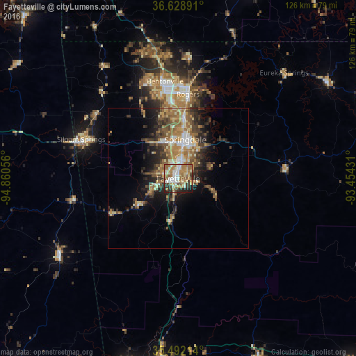
Analysis of Fayetteville night lights 2016
Square area 10x10 km:
 11.17%
90-99
16.85%80-89
8.24%70-79
8.97%60-69
18.68%50-59
11.54%40-49
5.13%30-39
8.42%20-29
8.24%10-19
2.75%0-9
0%Square area 50x50 km:
1.53%90-99
2.22%80-89
2.42%70-79
1.97%60-69
3.4%50-59
3.22%40-49
2.85%30-39
3.16%20-29
3.78%10-19
6.51%0-9
68.95%Clear (daylight) street map image can be seen on geolist.org.
Map coordinates:
36° 37' 44.1" North, 94° 51' 38" West
36° 3' 45.3" North, 94° 9' 26.7" West
35° 29' 31.7" North, 93° 27' 15.5" West
Some cities around Fayetteville sort by population:
• Springdale
14 km =8.7 mi,  10°
10°
• Rogers
30.2 km =18.8 mi, 6°
• Bentonville
34.8 km =21.6 mi,  352°
352°
• Siloam Springs
37.1 km =23.1 mi,  292°
292°
• Centerton
35 km =21.7 mi,  340°
340°
• Lowell
21.6 km =13.4 mi, 6°
• Farmington
8.4 km =5.2 mi,  254°
254°
• Prairie Grove
17.3 km =10.7 mi,  236°
236°
4110486 (p: 82,830)
Sources (retrieved 2019-11-25):
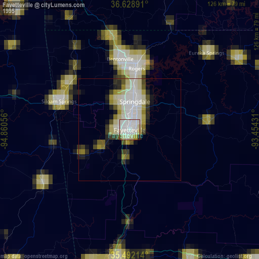
» NASA, Earths city lights 1995
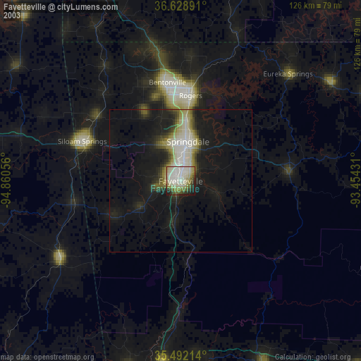
» NASA city lights 2003
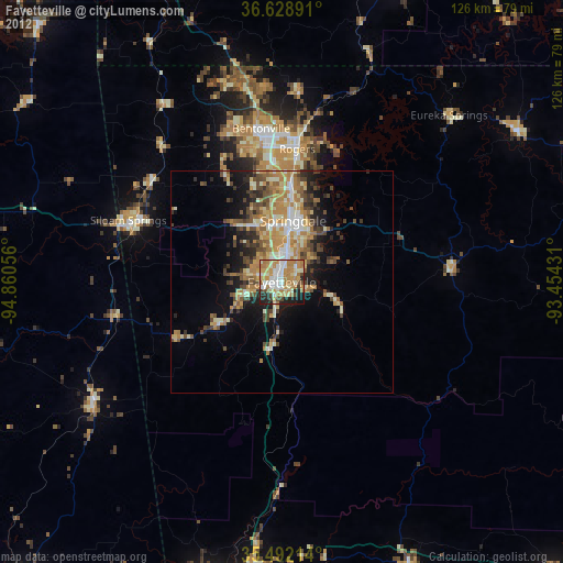
» Earth at Night: Flat Maps 2012, 2016