Tuckahoe night lights from space
Night Light of Tuckahoe (Virginia) from space (United States) Src. Average luminocity for 10x10km area is 82.0935% and for 50x50km: 40.2731%.
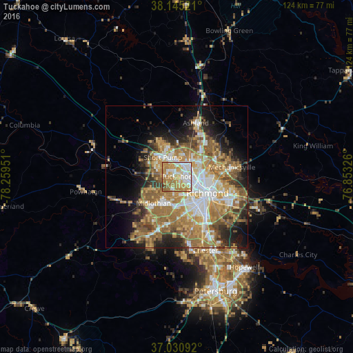
Analysis of Tuckahoe night lights 2016
Square area 10x10 km:
 19.39%
90-99
18.37%80-89
13.78%70-79
24.49%60-69
19.39%50-59
3.4%40-49
1.02%30-39
0.17%20-29
0%10-19
0%0-9
0%Square area 50x50 km:
6.97%90-99
6.58%80-89
5.35%70-79
7.72%60-69
9.5%50-59
7.56%40-49
4%30-39
4.23%20-29
5.79%10-19
8.65%0-9
33.65%Clear (daylight) street map image can be seen on geolist.org.
Map coordinates:
38° 8' 42.8" North, 78° 15' 34.2" West
37° 35' 24.5" North, 77° 33' 23" West
37° 1' 51.3" North, 76° 51' 11.7" West
Some cities around Tuckahoe sort by population:
• Richmond
9.4 km =5.8 mi,  115°
115°
• Short Pump
8.3 km =5.2 mi,  323°
323°
• Laurel
7.2 km =4.5 mi,  35°
35°
• Bon Air
7.3 km =4.5 mi,  180°
180°
• Glen Allen
9.5 km =5.9 mi,  27°
27°
• Lakeside
7.3 km =4.5 mi,  74°
74°
• Dumbarton
5.9 km =3.7 mi,  75°
75°
• Chamberlayne
12 km =7.5 mi, 70°
4790207 (p: 44,990)
Sources (retrieved 2019-11-25):
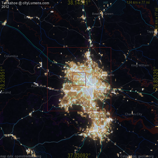
» Earth at Night: Flat Maps 2012, 2016