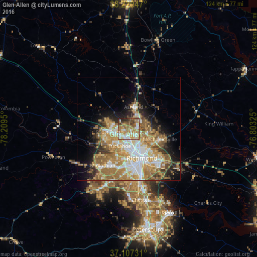
Glen Allen night lights from space
Night Light of Glen Allen (Virginia) from space (United States) Src. Average luminocity for 10x10km area is 70.9099% and for 50x50km: 34.2906%.
Analysis of Glen Allen night lights 2016
Square area 10x10 km:
 14.46%
90-99
13.1%80-89
7.48%70-79
16.5%60-69
16.84%50-59
13.1%40-49
9.01%30-39
4.76%20-29
4.76%10-19
0%0-9
0%Square area 50x50 km:
6.38%90-99
6.09%80-89
4.65%70-79
6.51%60-69
7.57%50-59
5.65%40-49
3.15%30-39
3.28%20-29
4.43%10-19
7.5%0-9
44.8%Clear (daylight) street map image can be seen on geolist.org.
Map coordinates:
38° 13' 13.7" North, 78° 12' 34.2" West
37° 39' 57.5" North, 77° 30' 22.9" West
37° 6' 26.3" North, 76° 48' 11.7" West
Some cities around Glen Allen sort by population:
• Tuckahoe
9.5 km =5.9 mi,  207°
207°
• Short Pump
9.5 km =5.9 mi,  259°
259°
• Laurel
2.6 km =1.6 mi,  184°
184°
• Lakeside
7 km =4.3 mi,  158°
158°
• Wyndham
10 km =6.2 mi,  291°
291°
• Dumbarton
7 km =4.3 mi,  169°
169°
• Ashland
10.6 km =6.6 mi,  12°
12°
• Chamberlayne
8.1 km =5 mi,  122°
122°
4761054 (p: 14,774)
Sources (retrieved 2019-11-25):
» Earth at Night: Flat Maps 2012, 2016