Truckee night lights from space
Night Light of Truckee (California) from space (United States) Src. Average luminocity for 10x10km area is 11.4932% and for 50x50km: 1.8758%.
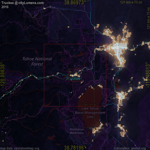
Analysis of Truckee night lights 2016
Square area 10x10 km:
 0.51%
0.51%90-99
0.17%80-89
0.34%70-79
3.23%60-69
2.55%50-59
3.06%40-49
2.72%30-39
2.55%20-29
1.53%10-19
0.68%0-9
82.65%Square area 50x50 km:
0.04%90-99
0.05%80-89
0.07%70-79
0.4%60-69
0.28%50-59
0.58%40-49
0.61%30-39
0.45%20-29
0.35%10-19
0.89%0-9
96.28%Clear (daylight) street map image can be seen on geolist.org.
Map coordinates:
39° 52' 11" North, 120° 53' 11" West
39° 19' 40.7" North, 120° 10' 59.7" West
38° 46' 55.1" North, 119° 28' 48.5" West
Some cities around Truckee sort by population:
• Reno
38.9 km =24.2 mi,  54°
54°
• Sparks
43.6 km =27.1 mi,  58°
58°
• Carson City
40.2 km =25 mi,  117°
117°
• Sun Valley
46 km =28.6 mi, 49°
• Incline Village
20 km =12.4 mi, 115°
• Cold Springs
43 km =26.7 mi,  24°
24°
• Indian Hills
43.7 km =27.2 mi,  128°
128°
• Lemmon Valley
45 km =28 mi,  40°
40°
5403676 (p: 16,299)
Sources (retrieved 2019-11-25):
» Earth at Night: Flat Maps 2012, 2016