Sweetwater night lights from space
Night Light of Sweetwater (Florida) from space (United States) Src. Average luminocity for 10x10km area is 98.8674% and for 50x50km: 55.7833%.
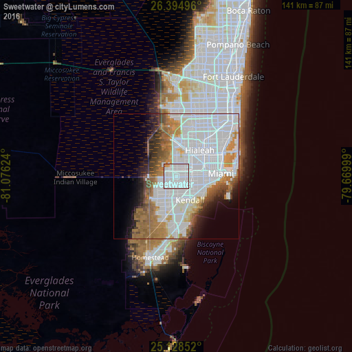
Analysis of Sweetwater night lights 2016
Square area 10x10 km:
 80.3%
80.3%90-99
16.67%80-89
0%70-79
1.89%60-69
1.14%50-59
0%40-49
0%30-39
0%20-29
0%10-19
0%0-9
0%Square area 50x50 km:
29.33%90-99
10.19%80-89
2.3%70-79
3.33%60-69
7.86%50-59
4.4%40-49
3.53%30-39
3.15%20-29
3.69%10-19
4.98%0-9
27.24%Clear (daylight) street map image can be seen on geolist.org.
Map coordinates:
26° 23' 41.9" North, 81° 4' 34.5" West
25° 45' 48.3" North, 80° 22' 23.2" West
25° 7' 42.7" North, 79° 40' 12" West
Some cities around Sweetwater sort by population:
• Fountainebleau
2.7 km =1.7 mi,  67°
67°
• Doral
6.5 km =4 mi,  15°
15°
• Tamiami
2.6 km =1.6 mi,  258°
258°
• Flagami
5.7 km =3.5 mi,  91°
91°
• Westchester
4.7 km =2.9 mi,  101°
101°
• University Park
2 km =1.2 mi,  163°
163°
• Olympia Heights
4.4 km =2.7 mi, 156°
• Westwood Lake
3.8 km =2.4 mi,  179°
179°
4174600 (p: 20,840)
Sources (retrieved 2019-11-25):
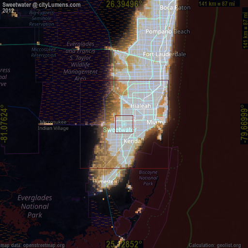
» Earth at Night: Flat Maps 2012, 2016