Summit night lights from space
Night Light of Summit (Illinois) from space (United States) Src. Average luminocity for 10x10km area is 99.0747% and for 50x50km: 85.6529%.
Analysis of Summit night lights 2016
Square area 10x10 km:
 75%
75%90-99
22.73%80-89
2.27%70-79
0%60-69
0%50-59
0%40-49
0%30-39
0%20-29
0%10-19
0%0-9
0%Square area 50x50 km:
45.66%90-99
20.69%80-89
9.22%70-79
6.52%60-69
5.04%50-59
4.03%40-49
1.86%30-39
1.17%20-29
0.86%10-19
1.27%0-9
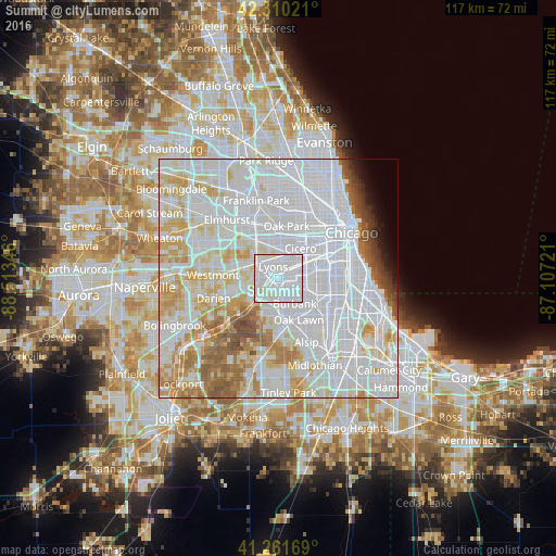
3.67%Clear (daylight) street map image can be seen on geolist.org.
Map coordinates:
42° 18' 36.8" North, 88° 30' 48.5" West
41° 47' 17.1" North, 87° 48' 37.2" West
41° 15' 42.1" North, 87° 6' 26" West
Some cities around Summit sort by population:
• Brookfield
5.3 km =3.3 mi,  319°
319°
• Bridgeview
4.3 km =2.7 mi,  173°
173°
• La Grange
5.2 km =3.2 mi,  291°
291°
• Justice
5.4 km =3.4 mi,  205°
205°
• Lyons
2.9 km =1.8 mi,  347°
347°
• Riverside
5.3 km =3.3 mi, 348°
• Stickney
4.4 km =2.7 mi,  31°
31°
• Countryside
5.7 km =3.5 mi,  264°
264°
4912845 (p: 11,389)
Sources (retrieved 2019-11-25):
» Earth at Night: Flat Maps 2012, 2016