Orem night lights from space
Night Light of Orem (Utah) from space (United States) Src. Average luminocity for 10x10km area is 81.5697% and for 50x50km: 19.7272%.
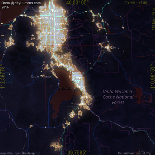
Analysis of Orem night lights 2016
Square area 10x10 km:
 27.72%
90-99
30.95%80-89
10.37%70-79
7.31%60-69
3.74%50-59
3.57%40-49
2.72%30-39
5.44%20-29
6.97%10-19
1.19%0-9
0%Square area 50x50 km:
3.05%90-99
3.17%80-89
2.61%70-79
2.79%60-69
3.26%50-59
3.69%40-49
2.49%30-39
2.65%20-29
6.08%10-19
8.14%0-9
62.06%Clear (daylight) street map image can be seen on geolist.org.
Map coordinates:
40° 49' 51.8" North, 112° 23' 52" West
40° 17' 48.8" North, 111° 41' 40.7" West
39° 45' 30.6" North, 110° 59' 29.5" West
Some cities around Orem sort by population:
• Provo
7.7 km =4.8 mi,  156°
156°
• Lehi
16.9 km =10.5 mi,  308°
308°
• Pleasant Grove
8.3 km =5.2 mi,  333°
333°
• Springville
16.3 km =10.1 mi,  154°
154°
• American Fork
12.4 km =7.7 mi,  316°
316°
• Highland
16.6 km =10.3 mi, 329°
• Lindon
5.6 km =3.5 mi,  336°
336°
• Cedar Hills
14.1 km =8.8 mi, 337°
5779334 (p: 94,457)
Sources (retrieved 2019-11-25):
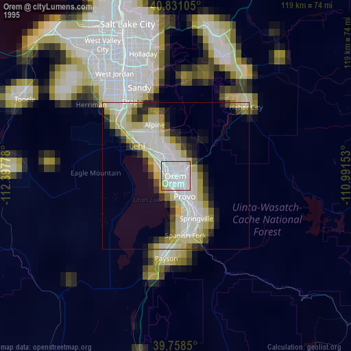
» NASA, Earths city lights 1995
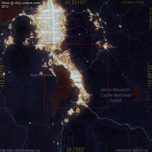
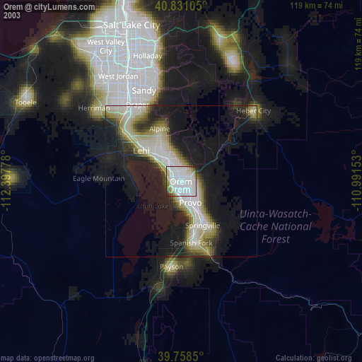
» NASA city lights 2003
» Earth at Night: Flat Maps 2012, 2016