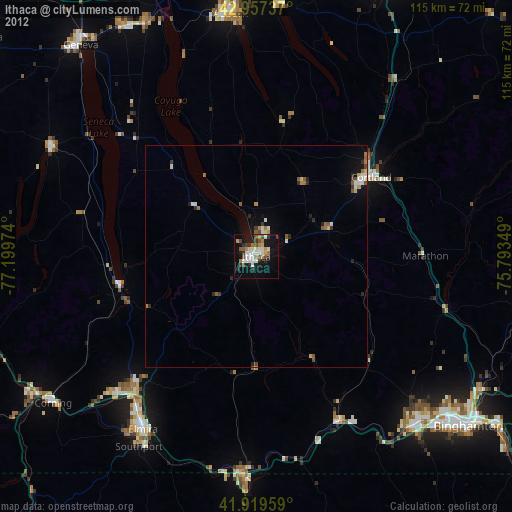
Ithaca night lights from space
Night Light of Ithaca (New York) from space (United States) Src. Average luminocity for 10x10km area is 34.3524% and for 50x50km: 2.9678%.
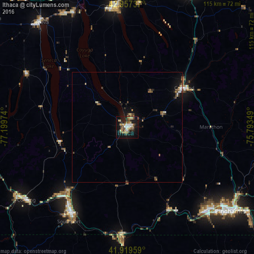
Analysis of Ithaca night lights 2016
Square area 10x10 km:
 4.76%
4.76%90-99
4.44%80-89
5.87%70-79
5.24%60-69
3.65%50-59
4.13%40-49
6.51%30-39
4.6%20-29
5.71%10-19
34.6%0-9
20.48%Square area 50x50 km:
0.27%90-99
0.29%80-89
0.45%70-79
0.33%60-69
0.38%50-59
0.42%40-49
0.63%30-39
0.42%20-29
0.63%10-19
2.44%0-9
93.73%Clear (daylight) street map image can be seen on geolist.org.
Map coordinates:
42° 57' 26.5" North, 77° 11' 59.1" West
42° 26' 26.3" North, 76° 29' 47.8" West
41° 55' 10.5" North, 75° 47' 36.6" West
Some cities around Ithaca sort by population:
• Elmira
46.7 km =29 mi,  213°
213°
• Cortland
31.5 km =19.6 mi,  55°
55°
• Southport
50.4 km =31.3 mi, 211°
• South Hill
1.3 km =0.8 mi,  173°
173°
• Horseheads
40.4 km =25.1 mi,  221°
221°
• Lakeview
51.8 km =32.2 mi,  91°
91°
• Sayre
51.4 km =31.9 mi,  181°
181°
• Big Flats
49.5 km =30.8 mi,  227°
227°
5122432 (p: 30,788)
Sources (retrieved 2019-11-25):
» Earth at Night: Flat Maps 2012, 2016