South Williamsport night lights from space
Night Light of South Williamsport (Pennsylvania) from space (United States) Src. Average luminocity for 10x10km area is 38.474% and for 50x50km: 5.1855%.
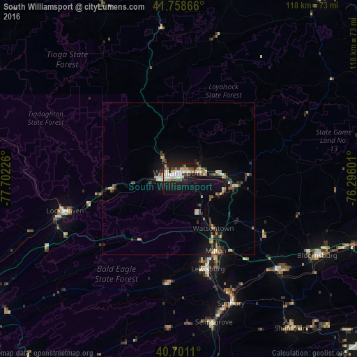
Analysis of South Williamsport night lights 2016
Square area 10x10 km:
 6.49%
6.49%90-99
10.23%80-89
4.22%70-79
2.76%60-69
3.57%50-59
4.55%40-49
5.03%30-39
3.25%20-29
10.71%10-19
33.44%0-9
15.75%Square area 50x50 km:
0.44%90-99
0.66%80-89
0.59%70-79
0.61%60-69
0.53%50-59
0.75%40-49
0.78%30-39
0.87%20-29
1.14%10-19
4.89%0-9
88.73%Clear (daylight) street map image can be seen on geolist.org.
Map coordinates:
41° 45' 31.2" North, 77° 42' 8.1" West
41° 13' 55.3" North, 76° 59' 56.9" West
40° 42' 4" North, 76° 17' 45.6" West
Some cities around South Williamsport sort by population:
• Williamsport
1 km =0.6 mi,  350°
350°
• Bloomsburg
52.2 km =32.4 mi,  119°
119°
• Sunbury
44.5 km =27.7 mi,  157°
157°
• Lock Haven
38.9 km =24.2 mi,  254°
254°
• Shamokin
61.6 km =38.3 mi,  143°
143°
• Milton
27.6 km =17.1 mi,  152°
152°
• Selinsgrove
49.5 km =30.8 mi,  166°
166°
• Lewisburg
31.3 km =19.4 mi, 162°
5213130 (p: 6,281)
Sources (retrieved 2019-11-25):
» Earth at Night: Flat Maps 2012, 2016