Selinsgrove night lights from space
Night Light of Selinsgrove (Pennsylvania) from space (United States) Src. Average luminocity for 10x10km area is 15.949% and for 50x50km: 4.7779%.
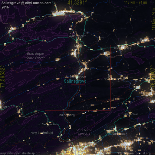
Analysis of Selinsgrove night lights 2016
Square area 10x10 km:
 1.36%
1.36%90-99
2.72%80-89
2.72%70-79
1.02%60-69
1.02%50-59
2.38%40-49
1.53%30-39
3.91%20-29
3.23%10-19
12.07%0-9
68.03%Square area 50x50 km:
0.31%90-99
0.47%80-89
0.69%70-79
0.57%60-69
0.47%50-59
0.88%40-49
0.75%30-39
1.09%20-29
1.07%10-19
3.17%0-9
90.54%Clear (daylight) street map image can be seen on geolist.org.
Map coordinates:
41° 19' 44.8" North, 77° 33' 55.2" West
40° 47' 56.3" North, 76° 51' 43.9" West
40° 15' 52.5" North, 76° 9' 32.7" West
Some cities around Selinsgrove sort by population:
• Williamsport
50.5 km =31.4 mi,  346°
346°
• Bloomsburg
41.1 km =25.5 mi,  56°
56°
• Sunbury
9.1 km =5.7 mi,  38°
38°
• Shamokin
25.6 km =15.9 mi,  92°
92°
• Milton
23.7 km =14.7 mi,  2°
2°
• South Williamsport
49.5 km =30.8 mi, 346°
• Lewisburg
18.5 km =11.5 mi, 354°
• Mount Carmel
37.9 km =23.5 mi, 90°
5211411 (p: 5,792)
Sources (retrieved 2019-11-25):
» Earth at Night: Flat Maps 2012, 2016