Dunellen night lights from space
Night Light of Dunellen (New Jersey) from space (United States) Src. Average luminocity for 10x10km area is 81.7565% and for 50x50km: 61.157%.
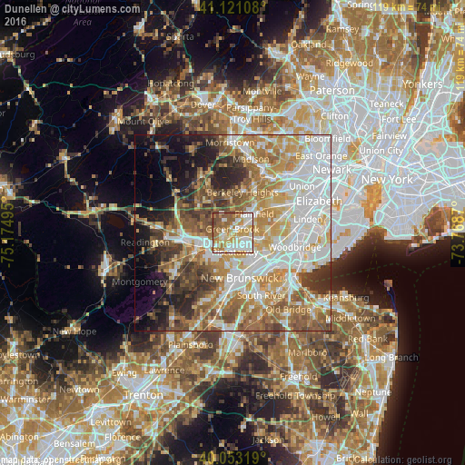
Analysis of Dunellen night lights 2016
Square area 10x10 km:
 19.81%
90-99
25.65%80-89
8.44%70-79
19.32%60-69
11.85%50-59
12.34%40-49
2.6%30-39
0%20-29
0%10-19
0%0-9
0%Square area 50x50 km:
15.75%90-99
13.19%80-89
7.74%70-79
9.89%60-69
9.91%50-59
8.68%40-49
5.99%30-39
5.69%20-29
6.21%10-19
7.52%0-9
9.42%Clear (daylight) street map image can be seen on geolist.org.
Map coordinates:
41° 7' 15.9" North, 75° 10' 29.8" West
40° 35' 21.4" North, 74° 28' 18.6" West
40° 3' 11.5" North, 73° 46' 7.3" West
Some cities around Dunellen sort by population:
• Plainfield
7.3 km =4.5 mi,  47°
47°
• South Plainfield
5.2 km =3.2 mi,  102°
102°
• North Plainfield
5.9 km =3.7 mi,  39°
39°
• Warren Township
4.4 km =2.7 mi,  298°
298°
• Middlesex
2.6 km =1.6 mi,  223°
223°
• Martinsville
7.5 km =4.7 mi,  280°
280°
• Bound Brook
6.1 km =3.8 mi,  247°
247°
• Watchung
5.7 km =3.5 mi,  18°
18°
5097349 (p: 7,431)
Sources (retrieved 2019-11-25):
» Earth at Night: Flat Maps 2012, 2016