Edison night lights from space
Night Light of Edison (New Jersey) from space (United States) Src. Average luminocity for 10x10km area is 93.6088% and for 50x50km: 67.2882%.
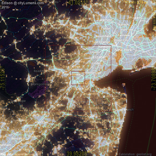
Analysis of Edison night lights 2016
Square area 10x10 km:
 38.78%
90-99
35.71%80-89
10.88%70-79
11.39%60-69
3.23%50-59
0%40-49
0%30-39
0%20-29
0%10-19
0%0-9
0%Square area 50x50 km:
17.56%90-99
13.78%80-89
8.16%70-79
9.94%60-69
11.18%50-59
12.29%40-49
8.07%30-39
7%20-29
6.12%10-19
4.16%0-9
1.74%Clear (daylight) street map image can be seen on geolist.org.
Map coordinates:
41° 3' 4" North, 75° 6' 54.8" West
40° 31' 7.4" North, 74° 24' 43.6" West
39° 58' 55.5" North, 73° 42' 32.3" West
Some cities around Edison sort by population:
• New Brunswick
4.9 km =3 mi,  222°
222°
• Piscataway
2.4 km =1.5 mi,  152°
152°
• Voorhees
7.3 km =4.5 mi,  235°
235°
• South Plainfield
6.7 km =4.2 mi,  0°
0°
• Somerset
6.9 km =4.3 mi,  250°
250°
• Highland Park
2.7 km =1.7 mi,  202°
202°
• Metuchen
4.9 km =3 mi,  56°
56°
• East Franklin
5.7 km =3.5 mi, 240°
5097529 (p: 102,548)
Sources (retrieved 2019-11-25):
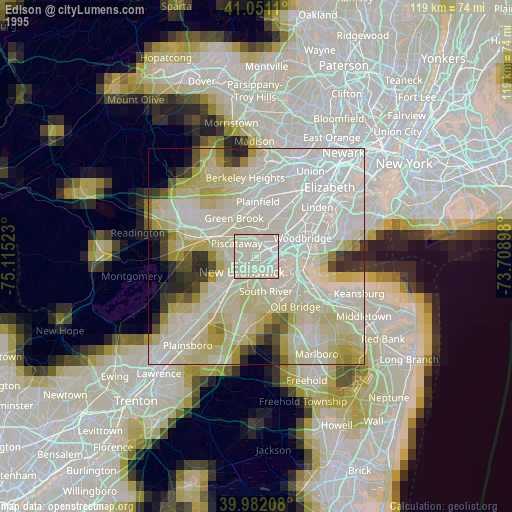
» NASA, Earths city lights 1995
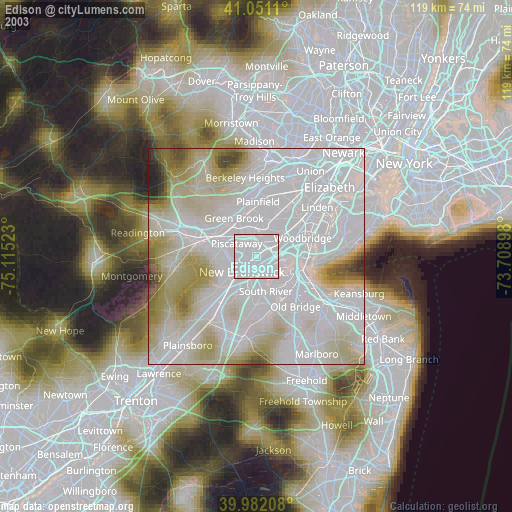
» NASA city lights 2003
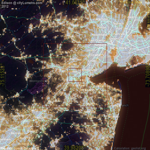
» Earth at Night: Flat Maps 2012, 2016