South Chicago night lights from space
Night Light of South Chicago (Illinois) from space (United States) Src. Average luminocity for 10x10km area is 80.2451% and for 50x50km: 62.7686%.

Analysis of South Chicago night lights 2016
Square area 10x10 km:
 46.1%
46.1%90-99
19.64%80-89
1.46%70-79
1.95%60-69
1.62%50-59
5.52%40-49
8.77%30-39
6.82%20-29
5.36%10-19
2.44%0-9
0.32%Square area 50x50 km:
36.08%90-99
13.81%80-89
4.66%70-79
4.61%60-69
3.79%50-59
1.76%40-49
1.65%30-39
1.7%20-29
2.1%10-19
2.81%0-9
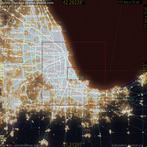
27.04%Clear (daylight) street map image can be seen on geolist.org.
Map coordinates:
42° 15' 44.2" North, 88° 15' 26.6" West
41° 44' 23.2" North, 87° 33' 15.3" West
41° 12' 46.7" North, 86° 51' 4.1" West
Some cities around South Chicago sort by population:
• Auburn Gresham
8.2 km =5.1 mi,  271°
271°
• Greater Grand Crossing
5.6 km =3.5 mi,  295°
295°
• Chatham
4.8 km =3 mi, 271°
• Hyde Park
6.9 km =4.3 mi,  331°
331°
• Englewood
8.8 km =5.5 mi, 300°
• Woodlawn
5.8 km =3.6 mi,  319°
319°
• Grand Boulevard
9.8 km =6.1 mi, 327°
• Kenwood
8.5 km =5.3 mi,  335°
335°
4911863 (p: 28,095)
Sources (retrieved 2019-11-25):
» Earth at Night: Flat Maps 2012, 2016