Selma night lights from space
Night Light of Selma (California) from space (United States) Src. Average luminocity for 10x10km area is 30.8535% and for 50x50km: 17.309%.
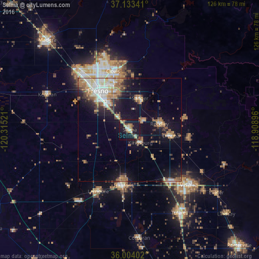
Analysis of Selma night lights 2016
Square area 10x10 km:
 2.56%
2.56%90-99
3.3%80-89
2.56%70-79
8.79%60-69
3.66%50-59
4.95%40-49
4.21%30-39
2.93%20-29
2.38%10-19
53.85%0-9
10.81%Square area 50x50 km:
2.43%90-99
2.87%80-89
1.35%70-79
3.19%60-69
2.69%50-59
2.46%40-49
2.08%30-39
2.39%20-29
2.69%10-19
12.39%0-9
65.47%Clear (daylight) street map image can be seen on geolist.org.
Map coordinates:
37° 8' 0.3" North, 120° 18' 54.8" West
36° 34' 14.8" North, 119° 36' 43.5" West
36° 0' 14.5" North, 118° 54' 32.3" West
Some cities around Selma sort by population:
• Fresno
24.3 km =15.1 mi,  323°
323°
• Hanford
27.2 km =16.9 mi,  186°
186°
• Reedley
14.7 km =9.1 mi,  78°
78°
• Sanger
16.1 km =10 mi,  18°
18°
• Dinuba
20.3 km =12.6 mi,  98°
98°
• Parlier
8.8 km =5.5 mi,  59°
59°
• Kingsburg
8.2 km =5.1 mi,  140°
140°
• Fowler
8.9 km =5.5 mi, 318°
5394329 (p: 24,414)
Sources (retrieved 2019-11-25):
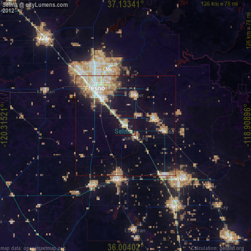
» Earth at Night: Flat Maps 2012, 2016