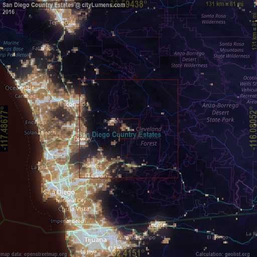
San Diego Country Estates night lights from space
Night Light of San Diego Country Estates (California) from space (United States) Src. Average luminocity for 10x10km area is 9.848% and for 50x50km: 10.5637%.
Analysis of San Diego Country Estates night lights 2016
Square area 10x10 km:
 0%
0%90-99
0%80-89
0%70-79
0.18%60-69
4.58%50-59
2.01%40-49
4.76%30-39
3.85%20-29
0%10-19
0%0-9
84.62%Square area 50x50 km:
0.88%90-99
1.08%80-89
0.47%70-79
0.95%60-69
3.4%50-59
2.18%40-49
2.66%30-39
1.99%20-29
2.94%10-19
5.74%0-9
77.72%Clear (daylight) street map image can be seen on geolist.org.
Map coordinates:
33° 35' 39.8" North, 117° 29' 12.4" West
33° 0' 24.2" North, 116° 47' 1.1" West
32° 24' 54.4" North, 116° 4' 49.9" West
Some cities around San Diego Country Estates sort by population:
• Santee
25.8 km =16 mi,  223°
223°
• Poway
24 km =14.9 mi,  258°
258°
• Lakeside
21.1 km =13.1 mi, 217°
• Winter Gardens
24 km =14.9 mi, 215°
• Ramona
8.8 km =5.5 mi,  296°
296°
• Bostonia
26.3 km =16.3 mi,  212°
212°
• Alpine
19.2 km =11.9 mi,  175°
175°
• Eucalyptus Hills
20.8 km =12.9 mi,  227°
227°
5391831 (p: 10,109)
Sources (retrieved 2019-11-25):
» Earth at Night: Flat Maps 2012, 2016