Winter Gardens night lights from space
Night Light of Winter Gardens (California) from space (United States) Src. Average luminocity for 10x10km area is 70.9266% and for 50x50km: 35.7558%.
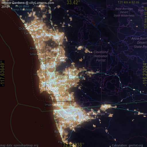
Analysis of Winter Gardens night lights 2016
Square area 10x10 km:
 15.56%
90-99
15.91%80-89
6.82%70-79
10.66%60-69
17.13%50-59
16.78%40-49
7.69%30-39
2.8%20-29
5.59%10-19
1.05%0-9
0%Square area 50x50 km:
5.63%90-99
6.34%80-89
3.26%70-79
5.3%60-69
10.39%50-59
7.47%40-49
5.21%30-39
3.62%20-29
4.75%10-19
7.08%0-9
40.94%Clear (daylight) street map image can be seen on geolist.org.
Map coordinates:
33° 25' 12" North, 117° 38' 11.4" West
32° 49' 52.2" North, 116° 56' 0.1" West
32° 14' 18.2" North, 116° 13' 48.9" West
Some cities around Winter Gardens sort by population:
• El Cajon
4.9 km =3 mi,  213°
213°
• La Mesa
10.9 km =6.8 mi,  229°
229°
• Santee
3.9 km =2.4 mi,  281°
281°
• Rancho San Diego
9.3 km =5.8 mi,  181°
181°
• Lakeside
3.1 km =1.9 mi,  19°
19°
• Casa de Oro-Mount Helix
8.2 km =5.1 mi,  203°
203°
• Bostonia
2.6 km =1.6 mi,  186°
186°
• Eucalyptus Hills
5.5 km =3.4 mi,  347°
347°
5410129 (p: 20,631)
Sources (retrieved 2019-11-25):
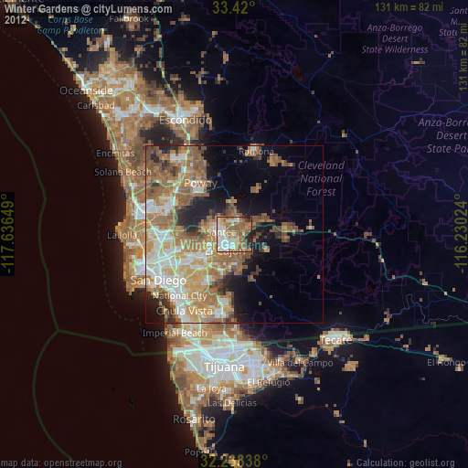
» Earth at Night: Flat Maps 2012, 2016