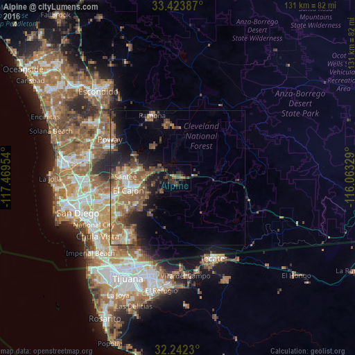
Alpine night lights from space
Night Light of Alpine (California) from space (United States) Src. Average luminocity for 10x10km area is 15.5087% and for 50x50km: 14.446%.
Analysis of Alpine night lights 2016
Square area 10x10 km:
 0%
0%90-99
0%80-89
0.7%70-79
0.52%60-69
3.5%50-59
3.85%40-49
4.2%30-39
7.69%20-29
5.42%10-19
8.22%0-9
65.91%Square area 50x50 km:
1.27%90-99
1.55%80-89
1.21%70-79
1.82%60-69
4.82%50-59
3.29%40-49
3.09%30-39
2.02%20-29
2.77%10-19
6.26%0-9
71.9%Clear (daylight) street map image can be seen on geolist.org.
Map coordinates:
33° 25' 25.9" North, 117° 28' 10.3" West
32° 50' 6.2" North, 116° 45' 59.1" West
32° 14' 32.3" North, 116° 3' 47.8" West
Some cities around Alpine sort by population:
• El Cajon
18.9 km =11.7 mi,  256°
256°
• Rancho San Diego
18.6 km =11.6 mi,  238°
238°
• Lakeside
14.8 km =9.2 mi,  279°
279°
• Winter Gardens
15.6 km =9.7 mi,  268°
268°
• Bostonia
16.2 km =10.1 mi, 259°
• San Diego Country Estates
19.2 km =11.9 mi,  355°
355°
• Jamul
16.7 km =10.4 mi,  218°
218°
• Eucalyptus Hills
17.6 km =10.9 mi,  286°
286°
5323401 (p: 14,236)
Sources (retrieved 2019-11-25):
» Earth at Night: Flat Maps 2012, 2016