San Antonio night lights from space
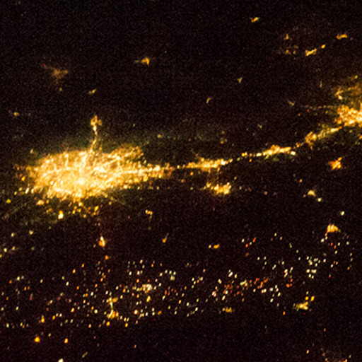
Night Light of San Antonio (Texas) from space (United States) Src. Average luminocity for 10x10km area is 99.4886% and for 50x50km: 59.9067%.
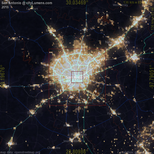
Analysis of San Antonio night lights 2016
Square area 10x10 km:
 77.46%
90-99
22.16%80-89
0.38%70-79
0%60-69
0%50-59
0%40-49
0%30-39
0%20-29
0%10-19
0%0-9
0%Square area 50x50 km:
16.74%90-99
15.73%80-89
7.8%70-79
8.12%60-69
5.97%50-59
6.11%40-49
5.14%30-39
5.73%20-29
7.07%10-19
10.91%0-9
10.68%Clear (daylight) street map image can be seen on geolist.org.
Map coordinates:
30° 2' 4.9" North, 99° 11' 48.3" West
29° 25' 26.8" North, 98° 29' 37.1" West
28° 48' 35.5" North, 97° 47' 25.8" West
Fantastic image of San Antonio from space taken by astronauts [src2], but I don't have information about it's orientation, scale or angle. If necessary, it was rotated manually, so North points approximately to upper direction. Click to zoom in:
Some cities around San Antonio sort by population:
• Converse
20.1 km =12.5 mi,  58°
58°
• Live Oak
21.9 km =13.6 mi,  44°
44°
• Leon Valley
14.5 km =9 mi,  303°
303°
• Lackland Air Force Base
12.7 km =7.9 mi,  250°
250°
• Kirby
11.3 km =7 mi,  67°
67°
• Alamo Heights
7.3 km =4.5 mi,  21°
21°
• Windcrest
15 km =9.3 mi,  47°
47°
• Terrell Hills
7 km =4.3 mi, 36°
4726206 (p: 1,469,845)
Sources (retrieved 2019-11-25):
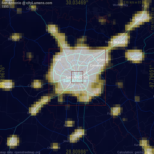
» NASA, Earths city lights 1995
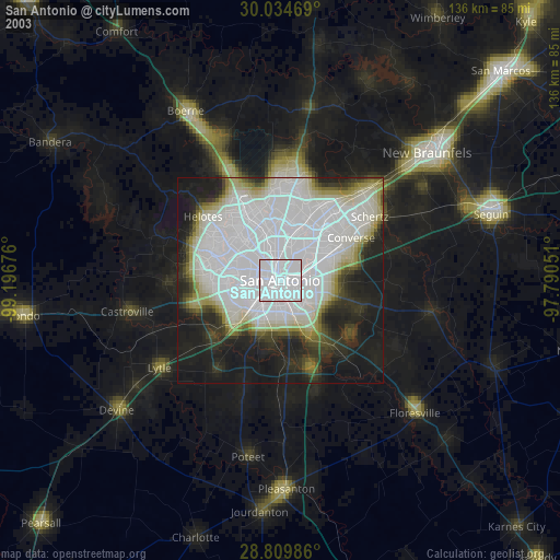
» NASA city lights 2003
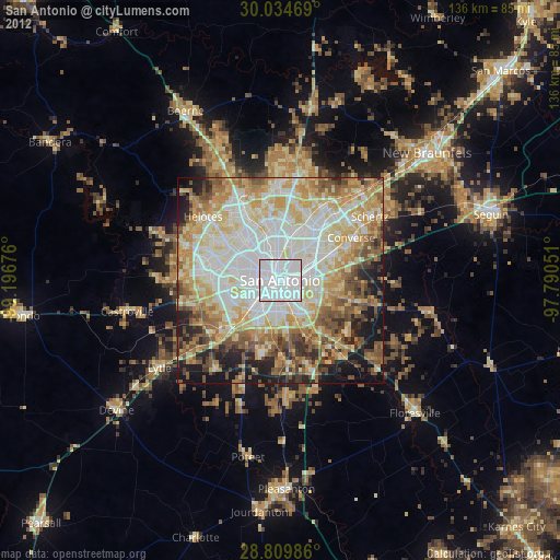
» Earth at Night: Flat Maps 2012, 2016
Src.2: Nasa, Deep in the Heart of Texas 2013