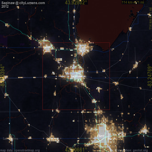
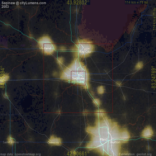
Saginaw night lights from space
Night Light of Saginaw (Michigan) from space (United States) Src. Average luminocity for 10x10km area is 74.7571% and for 50x50km: 15.2869%.


Analysis of Saginaw night lights 2016
Square area 10x10 km:
 16.67%
90-99
20.63%80-89
12.86%70-79
10%60-69
16.35%50-59
9.68%40-49
2.38%30-39
3.17%20-29
6.98%10-19
1.27%0-9
0%Square area 50x50 km:
2.17%90-99
2.75%80-89
1.82%70-79
1.84%60-69
2.25%50-59
2.13%40-49
1.8%30-39
1.91%20-29
4.56%10-19
9.02%0-9
69.74%Clear (daylight) street map image can be seen on geolist.org.
Map coordinates:
43° 55' 40.9" North, 84° 39' 14.2" West
43° 25' 10.1" North, 83° 57' 2.9" West
42° 54' 23.8" North, 83° 14' 51.7" West
Some cities around Saginaw sort by population:
• Midland
32.4 km =20.1 mi,  312°
312°
• Bay City
20.1 km =12.5 mi,  14°
14°
• Freeland
18.2 km =11.3 mi, 310°
• Bridgeport
8.7 km =5.4 mi,  140°
140°
• Buena Vista
4.2 km =2.6 mi,  88°
88°
• Shields
8.5 km =5.3 mi,  266°
266°
• Carrollton
4.7 km =2.9 mi,  20°
20°
• Frankenmuth
19.8 km =12.3 mi,  119°
119°
5007989 (p: 49,347)
Sources (retrieved 2019-11-25):
» NASA, Earths city lights 1995
» NASA city lights 2003
» Earth at Night: Flat Maps 2012, 2016