Inver Grove Heights night lights from space
Night Light of Inver Grove Heights (Minnesota) from space (United States) Src. Average luminocity for 10x10km area is 64.1159% and for 50x50km: 50.7001%.
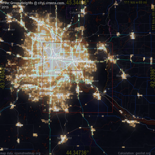
Analysis of Inver Grove Heights night lights 2016
Square area 10x10 km:
 10.32%
90-99
13.17%80-89
6.98%70-79
7.78%60-69
11.75%50-59
18.73%40-49
14.92%30-39
7.3%20-29
9.05%10-19
0%0-9
0%Square area 50x50 km:
14.68%90-99
11.9%80-89
5.36%70-79
6.08%60-69
9.44%50-59
5.88%40-49
4.22%30-39
2.84%20-29
5.24%10-19
10.12%0-9
24.21%Clear (daylight) street map image can be seen on geolist.org.
Map coordinates:
45° 20' 39.7" North, 93° 44' 45.1" West
44° 50' 52.9" North, 93° 2' 33.8" West
44° 20' 50.5" North, 92° 20' 22.6" West
Some cities around Inver Grove Heights sort by population:
• Saint Paul
11.4 km =7.1 mi,  339°
339°
• Woodbury
10.7 km =6.6 mi,  37°
37°
• Eagan
10.9 km =6.8 mi,  243°
243°
• Cottage Grove
8.1 km =5 mi,  106°
106°
• South Saint Paul
5 km =3.1 mi,  7°
7°
• West Saint Paul
8.9 km =5.5 mi,  328°
328°
• Mendota Heights
8.5 km =5.3 mi,  297°
297°
• Saint Paul Park
4.1 km =2.5 mi,  99°
99°
5031412 (p: 34,857)
Sources (retrieved 2019-11-25):
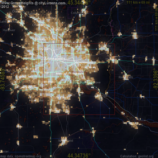
» Earth at Night: Flat Maps 2012, 2016