Keene night lights from space
Night Light of Keene (New Hampshire) from space (United States) Src. Average luminocity for 10x10km area is 22.5032% and for 50x50km: 2.0444%.
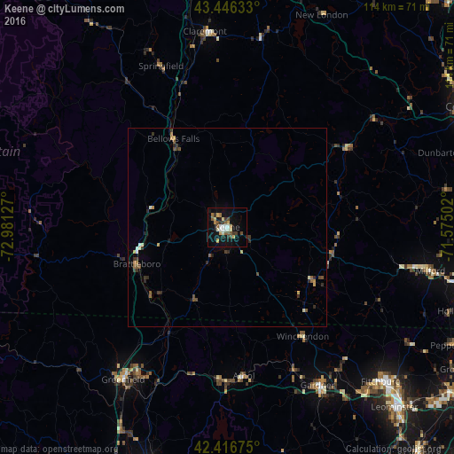
Analysis of Keene night lights 2016
Square area 10x10 km:
 3.02%
3.02%90-99
3.02%80-89
3.33%70-79
3.33%60-69
1.27%50-59
3.81%40-49
2.86%30-39
4.29%20-29
0.95%10-19
21.43%0-9
52.7%Square area 50x50 km:
0.16%90-99
0.25%80-89
0.25%70-79
0.27%60-69
0.18%50-59
0.38%40-49
0.31%30-39
0.49%20-29
0.42%10-19
0.98%0-9
96.31%Clear (daylight) street map image can be seen on geolist.org.
Map coordinates:
43° 26' 46.8" North, 72° 58' 52.6" West
42° 56' 1.3" North, 72° 16' 41.3" West
42° 25' 0.3" North, 71° 34' 30.1" West
Some cities around Keene sort by population:
• Athol
37.8 km =23.5 mi,  173°
173°
• Brattleboro
24.6 km =15.3 mi,  248°
248°
• Swanzey
7.1 km =4.4 mi,  182°
182°
• Templeton
45.4 km =28.2 mi,  157°
157°
• Rindge
29.8 km =18.5 mi,  132°
132°
• Ashburnham
44.8 km =27.8 mi,  137°
137°
• New Ipswich
40.2 km =25 mi,  120°
120°
• Rockingham
33 km =20.5 mi,  328°
328°
5088262 (p: 23,265)
Sources (retrieved 2019-11-25):
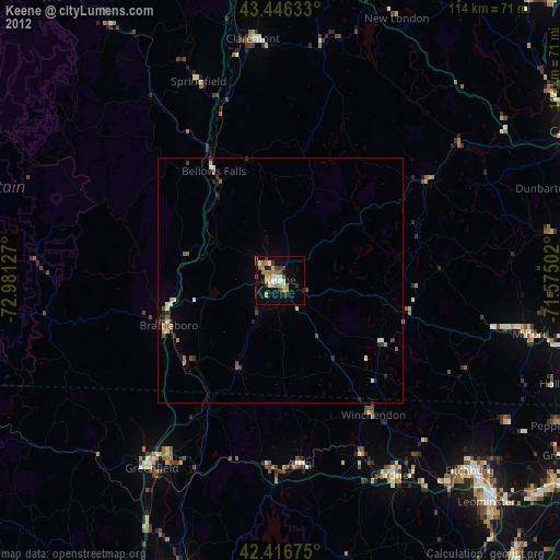
» Earth at Night: Flat Maps 2012, 2016