Rockford night lights from space
Night Light of Rockford (Illinois) from space (United States) Src. Average luminocity for 10x10km area is 83.5636% and for 50x50km: 17.71%.
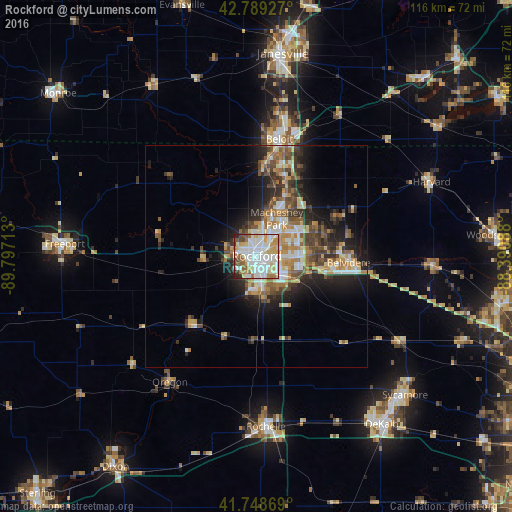
Analysis of Rockford night lights 2016
Square area 10x10 km:
 27.42%
90-99
30.76%80-89
9.7%70-79
9.09%60-69
8.33%50-59
5.76%40-49
3.48%30-39
2.27%20-29
3.03%10-19
0.15%0-9
0%Square area 50x50 km:
2.49%90-99
3.17%80-89
2.26%70-79
2.62%60-69
2.71%50-59
2.62%40-49
2.92%30-39
2.85%20-29
4.64%10-19
7.47%0-9
66.25%Clear (daylight) street map image can be seen on geolist.org.
Map coordinates:
42° 47' 21.4" North, 89° 47' 49.7" West
42° 16' 16.1" North, 89° 5' 38.4" West
41° 44' 55.3" North, 88° 23' 27.2" West
Some cities around Rockford sort by population:
• Beloit
26.9 km =16.7 mi,  10°
10°
• Belvidere
20.6 km =12.8 mi,  92°
92°
• Loves Park
6.2 km =3.9 mi,  28°
28°
• Machesney Park
9.6 km =6 mi, 28°
• Roscoe
17.3 km =10.7 mi,  23°
23°
• South Beloit
25.1 km =15.6 mi, 10°
• Rockton
20.2 km =12.6 mi, 5°
• Poplar Grove
24.8 km =15.4 mi,  64°
64°
4907959 (p: 148,278)
Sources (retrieved 2019-11-25):
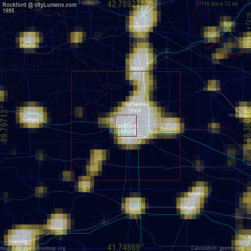
» NASA, Earths city lights 1995
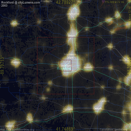
» NASA city lights 2003
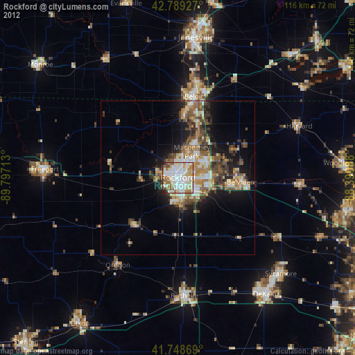
» Earth at Night: Flat Maps 2012, 2016