Beloit night lights from space
Night Light of Beloit (Wisconsin) from space (United States) Src. Average luminocity for 10x10km area is 57.146% and for 50x50km: 15.3879%.
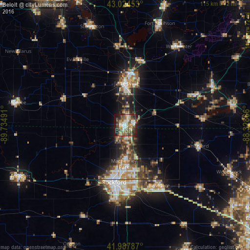
Analysis of Beloit night lights 2016
Square area 10x10 km:
 7.62%
7.62%90-99
11.27%80-89
8.25%70-79
7.14%60-69
9.84%50-59
14.92%40-49
11.59%30-39
7.78%20-29
10.48%10-19
10.79%0-9
0.32%Square area 50x50 km:
1.6%90-99
2.43%80-89
2.42%70-79
2.04%60-69
2.22%50-59
2.56%40-49
2.97%30-39
2.8%20-29
4.27%10-19
7.82%0-9
68.88%Clear (daylight) street map image can be seen on geolist.org.
Map coordinates:
43° 1' 28.3" North, 89° 44' 5.7" West
42° 30' 30.1" North, 89° 1' 54.4" West
41° 59' 16.3" North, 88° 19' 43.2" West
Some cities around Beloit sort by population:
• Rockford
26.9 km =16.7 mi,  190°
190°
• Janesville
19.4 km =12.1 mi,  3°
3°
• Loves Park
21.1 km =13.1 mi, 185°
• Machesney Park
17.9 km =11.1 mi,  181°
181°
• Roscoe
10.7 km =6.6 mi,  170°
170°
• South Beloit
1.7 km =1.1 mi, 193°
• Rockton
7 km =4.3 mi,  208°
208°
• Poplar Grove
23.2 km =14.4 mi,  132°
132°
5245387 (p: 36,891)
Sources (retrieved 2019-11-25):
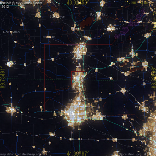
» Earth at Night: Flat Maps 2012, 2016